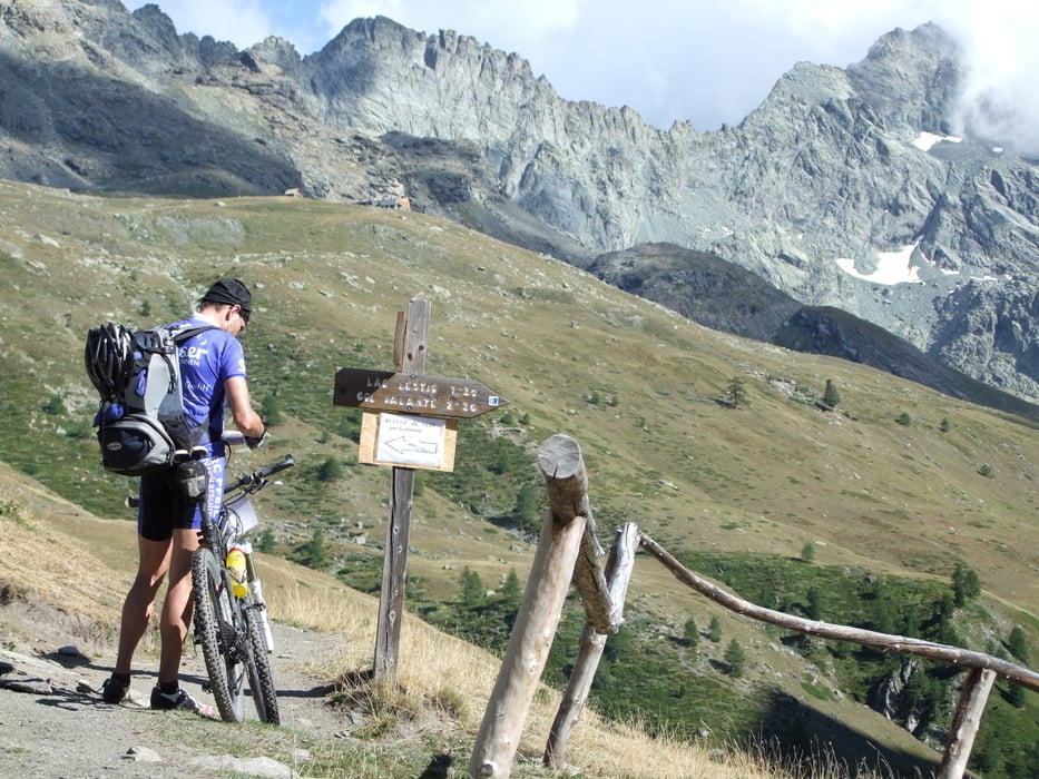
Teil 2 nachmittags: Abries - Pontechianale (nach einer Portion Spaghetti in Abries): Abries (1540m) - Ristolas - L'Echalp - Belvedere du Viso (2133m) - auf Weg am Talbach entlang zum Lago Lestio (2508m) - mühsam hoch schiebend zum Passo Vallanta (2811m) mit herrlichem Blick auf Monte Viso - nach re queren und wieder steil hoch zum Passo di Losetta (2872m) - Abfahrt zur Col-Agnel-Paßstraße - auf Straße hinab nach Pontechianale (1740m)
Tour gallery
Tour map and elevation profile
Minimum height 1551 m
Maximum height 2866 m
Comments

GPS tracks
Trackpoints-
GPX / Garmin Map Source (gpx) download
-
TCX / Garmin Training Center® (tcx) download
-
CRS / Garmin Training Center® (crs) download
-
Google Earth (kml) download
-
G7ToWin (g7t) download
-
TTQV (trk) download
-
Overlay (ovl) download
-
Fugawi (txt) download
-
Kompass (DAV) Track (tk) download
-
Track data sheet (pdf) download
-
Original file of the author (gpx) download
Add to my favorites
Remove from my favorites
Edit tags
Open track
My score
Rate


