
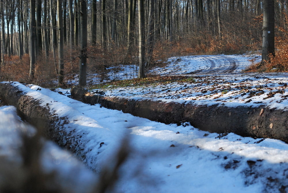

Eine sehr schöne Rundwanderung, die sich gut laufen läßt. Gestartet wird am Parkplatz vor der Waldgaststätte Diana Ruh, die allerdings im Winter geschlossen ist. An der ersten Gabelung sollte man sich entscheiden welche Richtung man einschlagen möchte. Wenn die Wege Schnee und Eisfrei sind, kann man die Runde bestimmt in einer kürzeren Zeit zurücklegen!
Tour gallery
Tour map and elevation profile
Minimum height 188 m
Maximum height 323 m
More about the tour author

|
ikuscha |
Comments

Aus Richtung Braunschweig kommend in Bornum am Elm erste Strasse rechts "Am Klapperberg" abbiegen und bis zur Gaststätte Diana Ruh fahren!
GPS tracks
Trackpoints-
GPX / Garmin Map Source (gpx) download
-
TCX / Garmin Training Center® (tcx) download
-
CRS / Garmin Training Center® (crs) download
-
Google Earth (kml) download
-
G7ToWin (g7t) download
-
TTQV (trk) download
-
Overlay (ovl) download
-
Fugawi (txt) download
-
Kompass (DAV) Track (tk) download
-
Track data sheet (pdf) download
-
Original file of the author (gpx) download
More about the tour author
|
|
ikuscha |
Add to my favorites
Remove from my favorites
Edit tags
Open track
My score
Rate