Servus
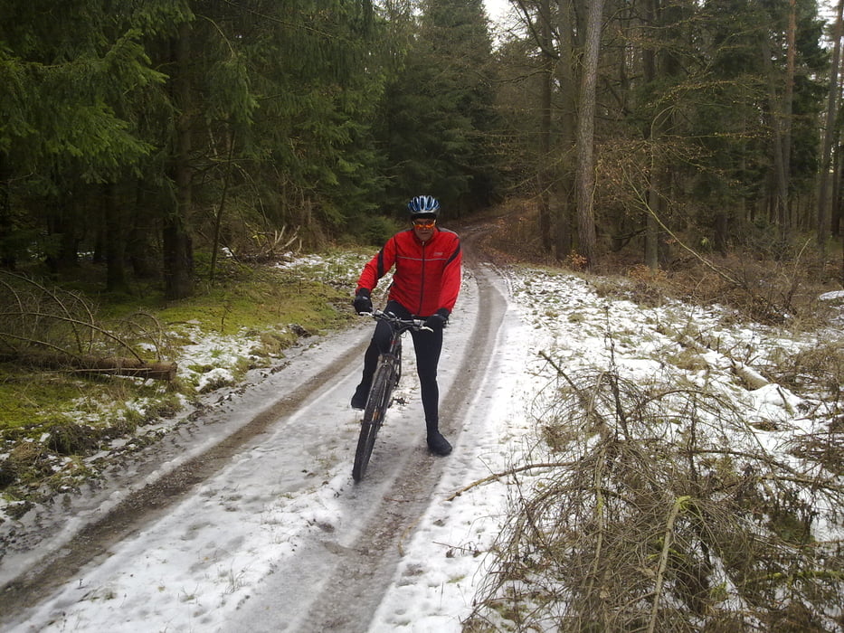
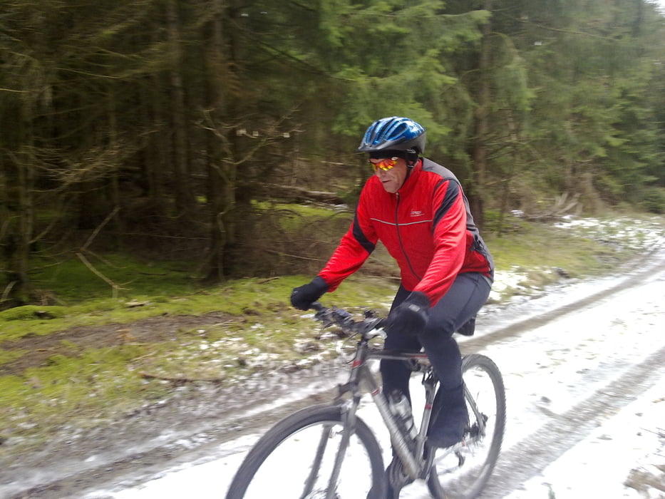
Suchen noch nen paar Leute aus dem Kreis Fulda die Lust haben mit uns ne Runde Fahrrad zu fahren (Mountianbiking)
Wenn Ihr lust und Interresse habt dann meldet euch einfach und schreibt uns
joar...
Gruß
Thomas, Udo und Basti
Tour gallery
Tour map and elevation profile
Minimum height 280 m
Maximum height 483 m
Comments

GPS tracks
Trackpoints-
GPX / Garmin Map Source (gpx) download
-
TCX / Garmin Training Center® (tcx) download
-
CRS / Garmin Training Center® (crs) download
-
Google Earth (kml) download
-
G7ToWin (g7t) download
-
TTQV (trk) download
-
Overlay (ovl) download
-
Fugawi (txt) download
-
Kompass (DAV) Track (tk) download
-
Track data sheet (pdf) download
-
Original file of the author (gpx) download
Add to my favorites
Remove from my favorites
Edit tags
Open track
My score
Rate


