


Transalp 2009 Mittenwald - Torbole
Tag 1: Mittenwald - Vereiner Alm - Hinterriß - Plumsjoch - Achensee - Jenbach - Fügen - Ried i.Z.
Tag 2: Ried i.Z. - Mayrhofen - Ginzling - Schlegeisspeicher - Pfitscherjoch - St. Jakob
Tag 3: St. Jakob - Fußendrass - Großbergalm - Pfunderer Joch - Weitenbergalm - Pfundres - Mühlbach
Tag 4: Mühlbach - San Benedetto - Zumis - Lüsen - Rosengarten - St. Magdalena
Tag 5: St. Magdalena - Brogles Alm - St. Ulrich - Seiser Alm - Mahlknechtjoch - Campitello - Predazzo
Tag 6: Predazzo - Molina - Cembra - Lavis - Trento - Rovereto - Mori - Torbole
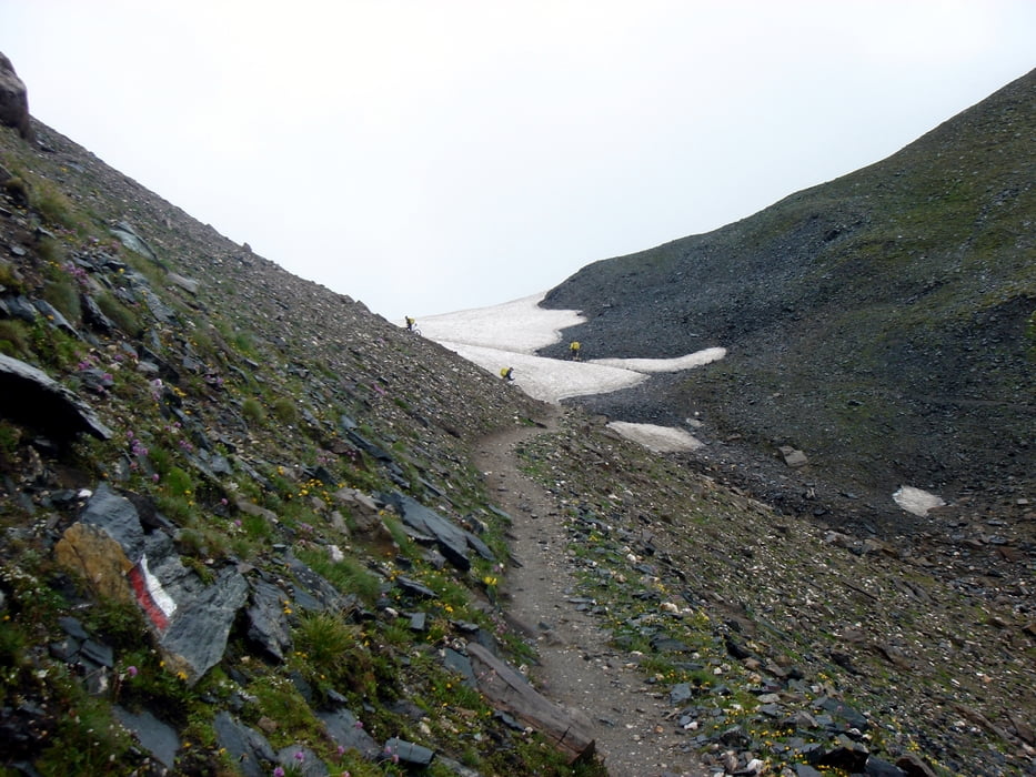
Tour gallery


Tour map and elevation profile
Minimum height 62 m
Maximum height 2592 m
More about the tour author

|
enz_armstrong |
Comments

GPS tracks
Trackpoints-
GPX / Garmin Map Source (gpx) download
-
TCX / Garmin Training Center® (tcx) download
-
CRS / Garmin Training Center® (crs) download
-
Google Earth (kml) download
-
G7ToWin (g7t) download
-
TTQV (trk) download
-
Overlay (ovl) download
-
Fugawi (txt) download
-
Kompass (DAV) Track (tk) download
-
Track data sheet (pdf) download
-
Original file of the author (gpx) download
More about the tour author
|
|
enz_armstrong |
Add to my favorites
Remove from my favorites
Edit tags
Open track
My score
Rate