Login

Forgotten password?

Cookies have to be accepted!
Your browser's cookie functionality is disabled. Please enable this functionality.

Not a member yet?

Register now
Login

Available for registred users only

Log in to use this feature.

Forgotten password?

Cookies have to be accepted!
Your browser's cookie functionality is disabled. Please enable this functionality.

Not a member yet?

Register now
Filter
Categories
Advanced filters
  • Distance (km)
  • Height
Save filters Reset filter

TrackRank

QRCode

Technical data

Distance184,4 km Height2055 m Way down1835 m Duration16:11 h:m Date28.12.2009
Scores Author Landscape Fun factor Fitness Technique

Statistics

327 Views Scores 56 Downloads Average
Rate
  • Track data sheet
  • Directions
  • Downloads

Mehrtagestour vom Plochinger Bahnhof bis Ulm, und zurück mit der Bahn !
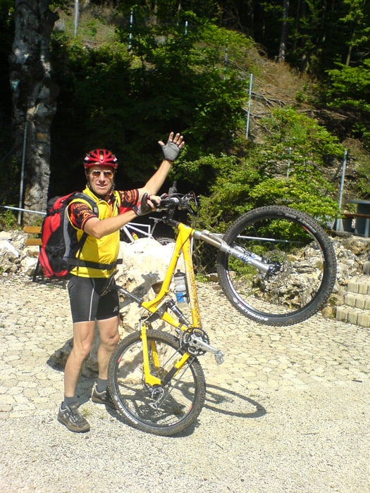
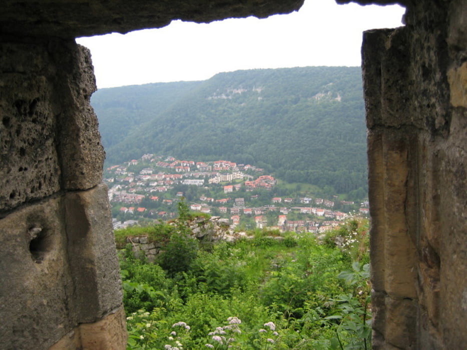
Tour gallery

Tour map and elevation profile

  • Open Street Map
  • Google
Minimum height 250 m Maximum height 858 m Detailed view

More about the tour author

md2701
Member since 2009

Send private message

Comments

dreher on 05.01.2010

Mehrtagestour von Plochingen nach Ulm

Den Radler kenne ich. Den habe ich schon mal gesehen.
Meistens von hinten...
Das Bild gefällt mir an dieser Stelle.
Grüßle
K.D.

GPS tracks

Trackpoints
  • GPX / Garmin Map Source (gpx) download
  • TCX / Garmin Training Center® (tcx) download
  • CRS / Garmin Training Center® (crs) download
  • Google Earth (kml) download
  • G7ToWin (g7t) download
  • TTQV (trk) download
  • Overlay (ovl) download
  • Fugawi (txt) download
  • Kompass (DAV) Track (tk) download
  • Track data sheet (pdf) download
  • Original file of the author (gpx) download

More about the tour author

md2701
Member since 2009

Send private message
Share track
Add to my favorites
Remove from my favorites
Edit tags
My score
Rate
Track: Mehrtagestour von Plochingen nach Ulm
Type: Mountain bike
Distance: 184,4 km
Evaluated on:
Duration:
Day(s)
Hour(s)
Minute(s)
Score: Landscape Fun factor Fitness Technique