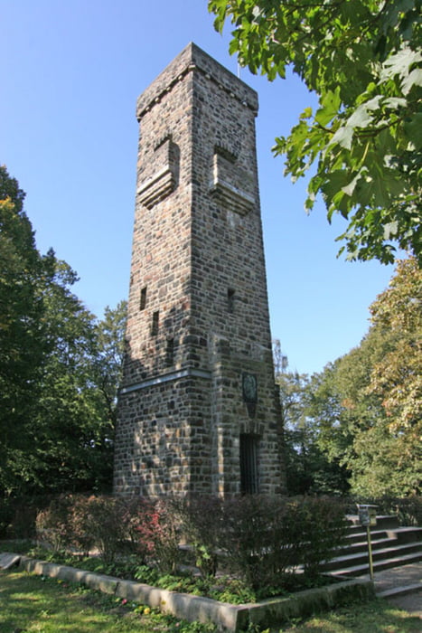
Start in Gevelsberg am ehemaligen Geersportplatz .
Von da aus über Berge ,und Hagen -Spielbring runter zur B7 in Kückelhausen.
Am Sportplatz vorbei , hoch zum Eugen -Richter Turm ,vorbei am Kaiser -Friedrichturm .
über Hagen Wahl zum Landeplatz Hagen Hof -Wahl.
Schöne Abfahrt in Richtung Hasper Talsperre, zurück über Ennepetal - Voerde
und Jellinghausen nach Gevelsberg.
Further information at
http://www.kaiserfriedrichturm.de/Tour map and elevation profile
Minimum height 112 m
Maximum height 397 m
Comments
Start in Gevelsberg ,
An der Geer , am ehemaligen Sportplatz.
GPS tracks
Trackpoints-
GPX / Garmin Map Source (gpx) download
-
TCX / Garmin Training Center® (tcx) download
-
CRS / Garmin Training Center® (crs) download
-
Google Earth (kml) download
-
G7ToWin (g7t) download
-
TTQV (trk) download
-
Overlay (ovl) download
-
Fugawi (txt) download
-
Kompass (DAV) Track (tk) download
-
Track data sheet (pdf) download
-
Original file of the author (gpx) download
Add to my favorites
Remove from my favorites
Edit tags
Open track
My score
Rate


Route nicht mehr zu 100% befahrbar
Aber ansonsten hat die Tour echt Spass gemacht!!!