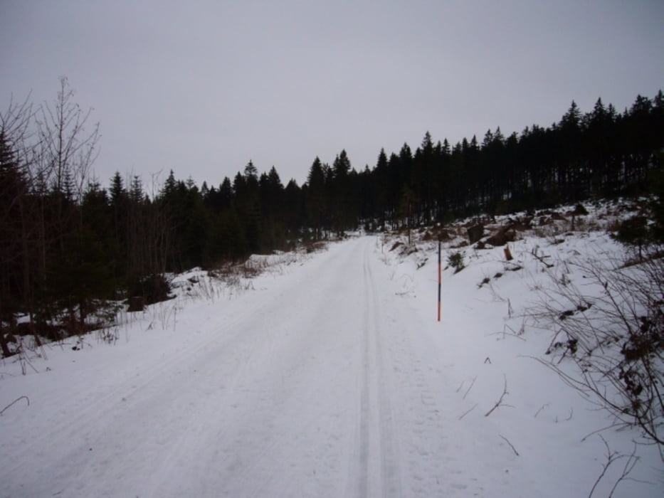
Die Strecke ist klassisch und in Skating Technik befahrbar. Es handelt sich um einen mittelschweren Rundkurs. Die Strecke ist gelb markiert.
Tour gallery
Tour map and elevation profile
Minimum height 991 m
Maximum height 1058 m
Comments

Von Lohberg Richtung Gr. Arber fahren. Nach ca. 7 km befindet sich auf der linken Seite der Parkplatz am Einstieg der Loipe. Gebühr: 3€/Pkw (Dez. 2009).
GPS tracks
Trackpoints-
GPX / Garmin Map Source (gpx) download
-
TCX / Garmin Training Center® (tcx) download
-
CRS / Garmin Training Center® (crs) download
-
Google Earth (kml) download
-
G7ToWin (g7t) download
-
TTQV (trk) download
-
Overlay (ovl) download
-
Fugawi (txt) download
-
Kompass (DAV) Track (tk) download
-
Track data sheet (pdf) download
-
Original file of the author (gpx) download
Add to my favorites
Remove from my favorites
Edit tags
Open track
My score
Rate


