


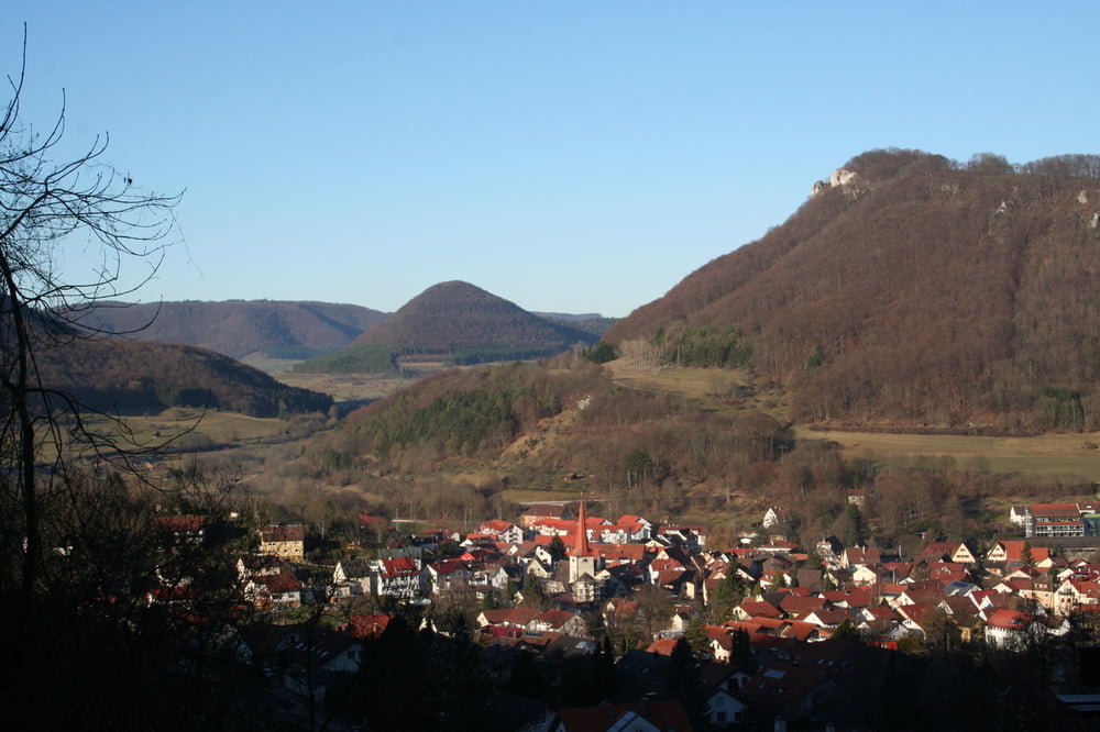
Schöne Tour am Albtrauf entlang
Wir starten in Bad Überkingen in der Ortsmitte (bei der Autalhalle). Wir gehen Richtung Türkheim. Von Weitem an der Kirche mit dem Zwiebelturm zu erkennen. Ab hier immer den Albtraufweg entlang. Dann geht´s nach Hausen hinunter.
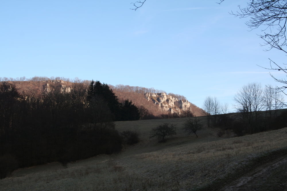
Von hier sind wir über den Hausener Fels zurück nach Bad Überkingen. Vom Hausener Fels aus hat man einen tollen Blick über Filstal und Alb.
Man kann auch von Hausen im Tal zurück nach Bad Überkingen (allerdings versäumt man dann den spektakulären Ausblick).
Further information at
http://www.bad-ueberkingen.de/static/04P/04P/68/1/l1/index.htmlTour gallery


Tour map and elevation profile
Minimum height 455 m
Maximum height 783 m
More about the tour author
|
|
Seili |
Comments

GPS tracks
Trackpoints-
GPX / Garmin Map Source (gpx) download
-
TCX / Garmin Training Center® (tcx) download
-
CRS / Garmin Training Center® (crs) download
-
Google Earth (kml) download
-
G7ToWin (g7t) download
-
TTQV (trk) download
-
Overlay (ovl) download
-
Fugawi (txt) download
-
Kompass (DAV) Track (tk) download
-
Track data sheet (pdf) download
-
Original file of the author (gpx) download
More about the tour author
|
|
Seili |
Add to my favorites
Remove from my favorites
Edit tags
Open track
My score
Rate