


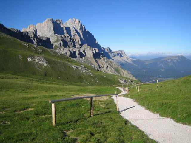
Rundtour mit Schiebpassagen/Tragepassagen zur Schlüterhütte (bewirtschaftet und Übernachtung).
Die meisten fahren nur zur Schlüterhütte in Fahrtrichtung gegen den Uhrzeigersinn (Armeen von MTB-Freunden mit Guides), als Rundtour finde ich die Tour im Uhrzeigersinn besser.
andere MTB-Touren: http://www.mtb-land.com/
mehr Info´s später
Die meisten fahren nur zur Schlüterhütte in Fahrtrichtung gegen den Uhrzeigersinn (Armeen von MTB-Freunden mit Guides), als Rundtour finde ich die Tour im Uhrzeigersinn besser.
andere MTB-Touren: http://www.mtb-land.com/
mehr Info´s später
Further information at
http://www.schlueterhuette.comTour gallery
Tour map and elevation profile
Minimum height 1127 m
Maximum height 2417 m
More about the tour author
|
|
skyhopper |
Comments
Brennerautobahn auf E68 Richtung Bruneck verlassen, dann in St. Lorenzen auf der SS244 bis St. Martin in Thurm, dort rechts nach Campill.
GPS tracks
Trackpoints-
GPX / Garmin Map Source (gpx) download
-
TCX / Garmin Training Center® (tcx) download
-
CRS / Garmin Training Center® (crs) download
-
Google Earth (kml) download
-
G7ToWin (g7t) download
-
TTQV (trk) download
-
Overlay (ovl) download
-
Fugawi (txt) download
-
Kompass (DAV) Track (tk) download
-
Track data sheet (pdf) download
-
Original file of the author (gpx) download
More about the tour author
|
|
skyhopper |
Add to my favorites
Remove from my favorites
Edit tags
Open track
My score
Rate
Absolut richtiger Ansatz!