


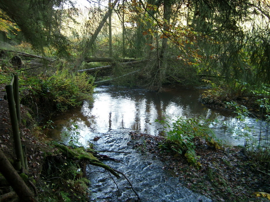
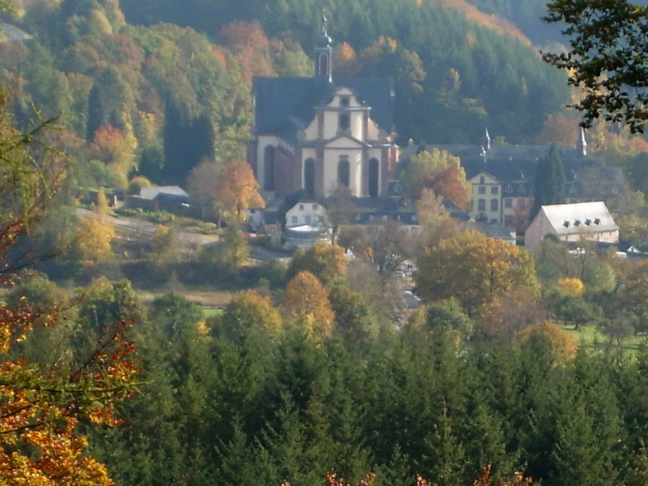
Rundweg ausgehend vom Kloster Himmerod, der gut in max. 3 Stunden zu bewältigen ist. Der Weg führt zunächst an der Salm entlang, bevor er dann bei Molitors Mühle für ca. 2 km ansteigt und anschließend meist über bewaldete Höhen führt. Mit dem Überqueren der L46 nach etwas über 5 km sind die wesentlichen Steigungen geschafft, diese Straße wird dann nach gut 8 km ein zweites Mal überquert. Der Weg führt anschließend überwiegend stetig bergab bis hin zum Ausgangspunkt. Das Lokal in unmittelbarer Nähe lädt noch zu einem längeren Verweilen ein.
Further information at
http://www.eifel-gps.de/index.php?cont=bus&id=12Tour gallery
Tour map and elevation profile
Minimum height 244 m
Maximum height 435 m
More about the tour author

|
Dieter_Ol |
Comments

GPS tracks
Trackpoints-
GPX / Garmin Map Source (gpx) download
-
TCX / Garmin Training Center® (tcx) download
-
CRS / Garmin Training Center® (crs) download
-
Google Earth (kml) download
-
G7ToWin (g7t) download
-
TTQV (trk) download
-
Overlay (ovl) download
-
Fugawi (txt) download
-
Kompass (DAV) Track (tk) download
-
Track data sheet (pdf) download
-
Original file of the author (gpx) download
More about the tour author
|
|
Dieter_Ol |
Add to my favorites
Remove from my favorites
Edit tags
Open track
My score
Rate