Login

Forgotten password?

Cookies have to be accepted!
Your browser's cookie functionality is disabled. Please enable this functionality.

Not a member yet?

Register now
Login

Available for registred users only

Log in to use this feature.

Forgotten password?

Cookies have to be accepted!
Your browser's cookie functionality is disabled. Please enable this functionality.

Not a member yet?

Register now
Filter
Categories
Advanced filters
  • Distance (km)
  • Height
Save filters Reset filter

TrackRank

QRCode

Technical data

Distance4,8 km Height709 m Way down791 m Duration02:30 h:m Date06.01.2010
Scores Author Landscape Fun factor Fitness Technique

Statistics

574 Views Scores 80 Downloads Average
Rate
  • Track data sheet
  • Directions
  • Downloads

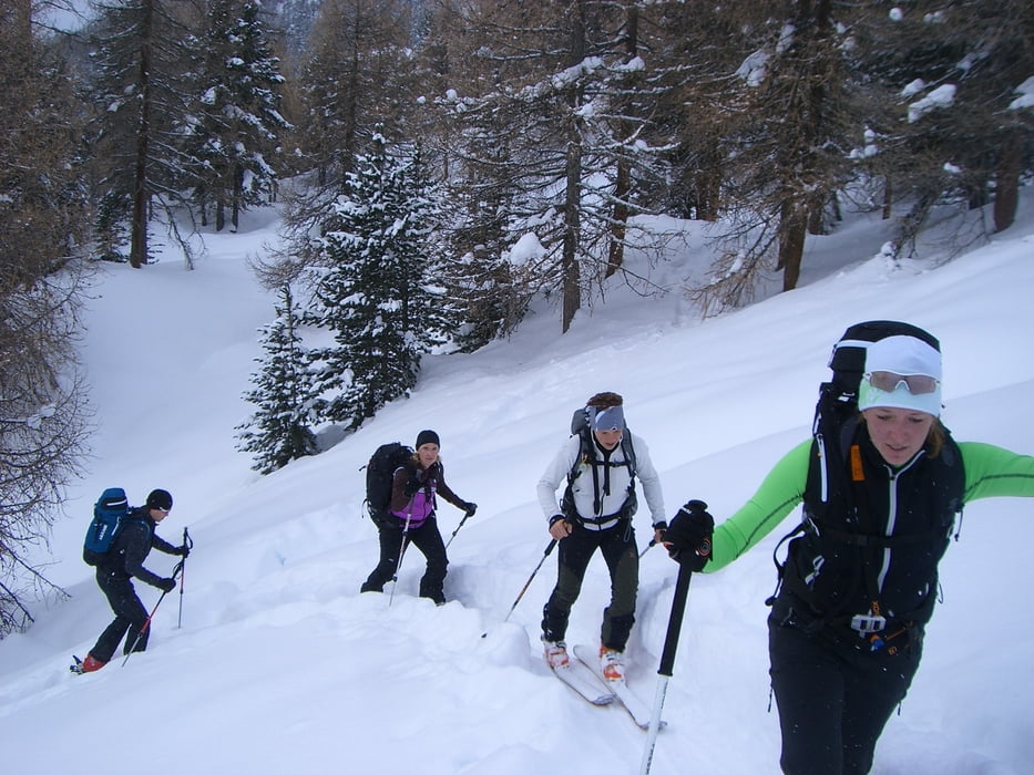
 Skitour zum Lyfiberg im Martelltal.

Schöner, nicht zu steiler Aufstieg mit toller Tiefschneeabfahrt. Letztes drittel der Abfahrt geht durch den Wald und erfordert ein wenig Treffsicherheit 

Tour gallery

Tour map and elevation profile

  • Open Street Map
  • Google
Minimum height 1866 m Maximum height 2685 m Detailed view

More about the tour author

Blatterter
Member since 2009

Send private message

Comments

 Start der Tour ist im Matelltal der Parkplatz am Zufritt Stausee

GPS tracks

Trackpoints
  • GPX / Garmin Map Source (gpx) download
  • TCX / Garmin Training Center® (tcx) download
  • CRS / Garmin Training Center® (crs) download
  • Google Earth (kml) download
  • G7ToWin (g7t) download
  • TTQV (trk) download
  • Overlay (ovl) download
  • Fugawi (txt) download
  • Kompass (DAV) Track (tk) download
  • Track data sheet (pdf) download
  • Original file of the author (gpx) download

More about the tour author

Blatterter
Member since 2009

Send private message
Share track
Add to my favorites
Remove from my favorites
Edit tags
My score
Rate
Track: Skitour Lyfiberg- Martelltal -Lifiberg/ Martell
Type: Ski touring
Distance: 4,8 km
Evaluated on:
Duration:
Day(s)
Hour(s)
Minute(s)
Score: Landscape Fun factor Fitness Technique