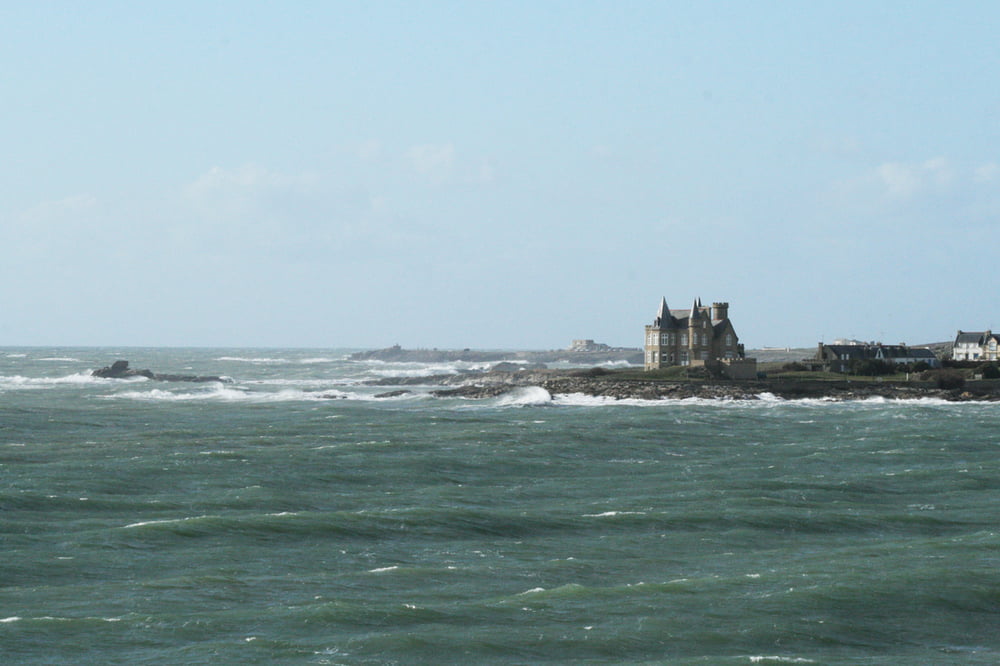
Eine wunderschöne Fahrt den Rhein hinunter, die Mosel hinauf, quer duch Frankreich an die Loire und dann die Loire entlang bis an den Atlantik.
Tour map and elevation profile
Minimum height 1 m
Maximum height 393 m
Comments
GPS tracks
Trackpoints-
GPX / Garmin Map Source (gpx) download
-
TCX / Garmin Training Center® (tcx) download
-
CRS / Garmin Training Center® (crs) download
-
Google Earth (kml) download
-
G7ToWin (g7t) download
-
TTQV (trk) download
-
Overlay (ovl) download
-
Fugawi (txt) download
-
Kompass (DAV) Track (tk) download
-
Track data sheet (pdf) download
-
Original file of the author (gpx) download
Add to my favorites
Remove from my favorites
Edit tags
Open track
My score
Rate


Ihre Frankreichtour
für 2012 plane ich eine Tour von Freiburg in die Bretagne. Bei Ihrer Tour ist mir aufgefallen, dass Sie ab Orleans nur teilweise auf der Eurovelo6 entlang der Loire gefahren sind. Gab es dafür einen besonderen Grund?
Freundliche Grüße
rowei