


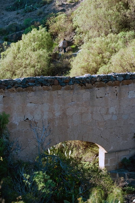
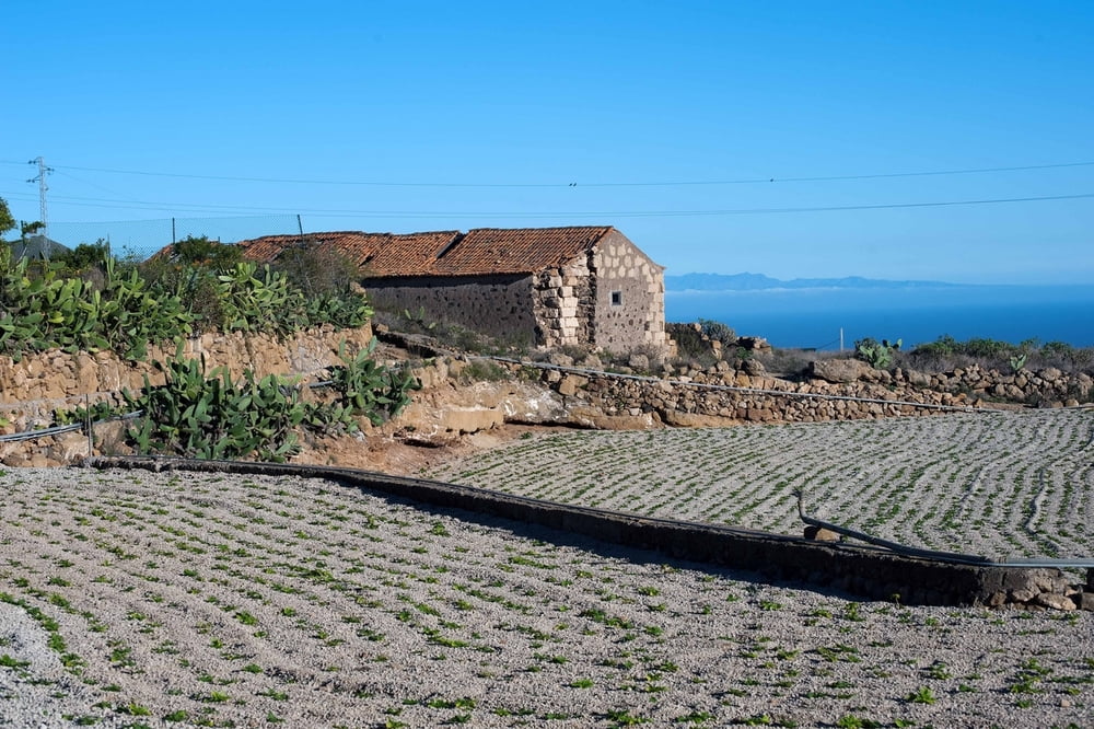
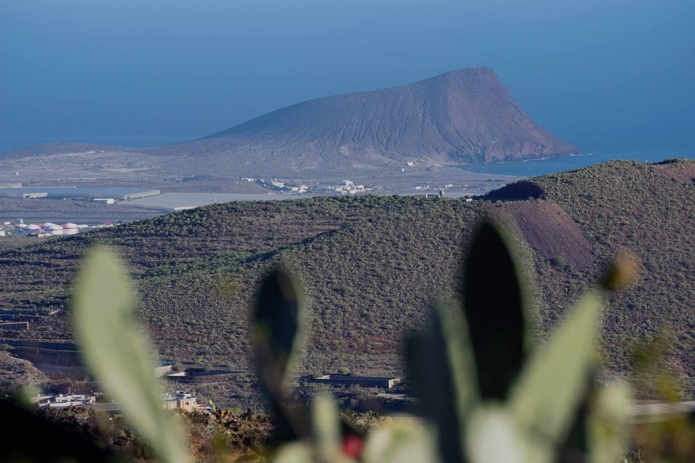
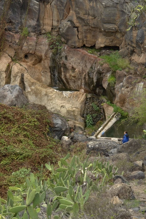
Leichte Wanderung in einem Ortsteil von San Miguel am Rande des Ortes. Die Wanderung führt durch zwei Barrancos zur Fuente de Tamaide. Der Weg wurde frisch gekennzeichnet und mit Schautafeln versehen. Er bietet schöne Ausblicke auf die Montaña Roja, Golf del Sur, den Flughafen und Las Galletas.
Tour gallery
Tour map and elevation profile
Minimum height 412 m
Maximum height 601 m
More about the tour author

|
Banderolo |
Comments

Von Playa de Las Americas kommend verlässt man die Autobahn in Las Chafiras(Richtung Santa Cruz). Fährt dann Richtung El Teide nach San Miguel. Nach dem Betonwerk Olican folgt man der Strasse bis eine lange Gerade von ca. 500m kommt. Dort biegt man am Ende der Geraden den Berg hinauf nach links ab. An der ersten Kreuzung wieder nach links. Dann den Berg hinauf bis zum Startpunkt. Es gibt dort eine Parkmöglichkeit für 2-3 Autos. Aber dies ist keine überlaufene Tour obwohl man sich noch im Ort befindet. Es kann sein, dass man auf der ganzen Strecke niemandem begegnet!
GPS tracks
Trackpoints-
GPX / Garmin Map Source (gpx) download
-
TCX / Garmin Training Center® (tcx) download
-
CRS / Garmin Training Center® (crs) download
-
Google Earth (kml) download
-
G7ToWin (g7t) download
-
TTQV (trk) download
-
Overlay (ovl) download
-
Fugawi (txt) download
-
Kompass (DAV) Track (tk) download
-
Track data sheet (pdf) download
-
Original file of the author (gpx) download
More about the tour author
|
|
Banderolo |
Add to my favorites
Remove from my favorites
Edit tags
Open track
My score
Rate