


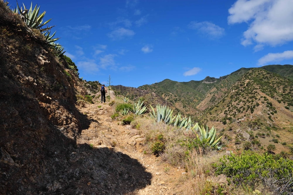
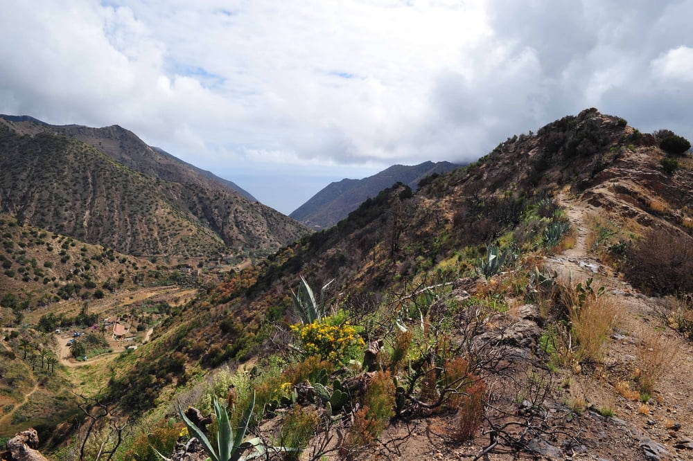
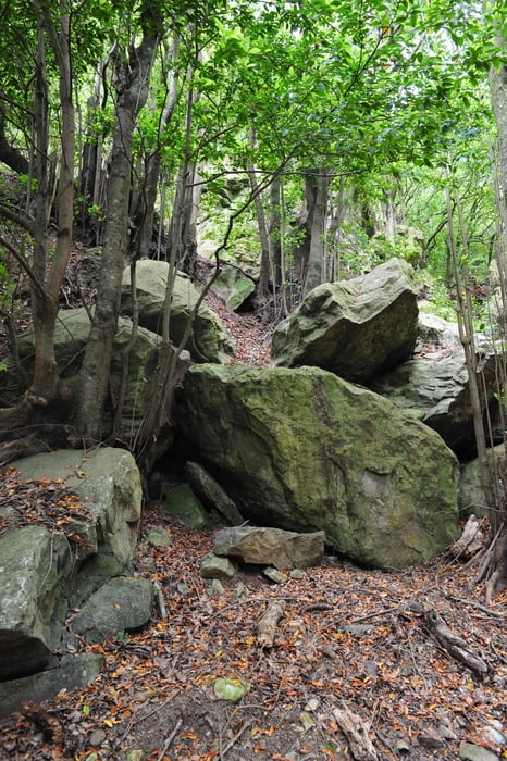
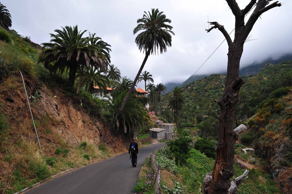
Diese lange Rundwanderung führt uns durch das herrliche Tal von Vallehermoso. Der Aufstieg erfolgt von der Playa in Vallehermoso hinauf auf die kargen, vegatationslosen Hänge der Montaña Blanca. Das bequeme Mittelstück verläuft auf einer Forstpiste am Rande des immergrünen Lorbeerwaldes. Der Rückweg führt uns durch ein idyllisches Palmental.
Achtung: Im Mai 2008 war zwischen den Wegpunkten GO-Ro38.6 und ...7 der Weg nahezu unpassierbar mannshoch mit Brombeergestrüpp zugewachsen. Für dieses kurze Stück haben wir mit Wegsuche und Freikämfen ca. 1 Std. gebraucht. Mit kurzer Hose wäre es nicht machbar gewesen. Eine Machete hätte uns gut geholfen.
Eine Alternative ist der Weg nach unten an der Weggabelung WP GO-Ro38.5!
Tour gallery
Tour map and elevation profile
Minimum height 179 m
Maximum height 845 m
More about the tour author

|
Banderolo |
Comments

Man fährt nach Vallehermoso und parkt an der Plaza de Constitution.
GPS tracks
Trackpoints-
GPX / Garmin Map Source (gpx) download
-
TCX / Garmin Training Center® (tcx) download
-
CRS / Garmin Training Center® (crs) download
-
Google Earth (kml) download
-
G7ToWin (g7t) download
-
TTQV (trk) download
-
Overlay (ovl) download
-
Fugawi (txt) download
-
Kompass (DAV) Track (tk) download
-
Track data sheet (pdf) download
-
Original file of the author (gpx) download
More about the tour author
|
|
Banderolo |
Add to my favorites
Remove from my favorites
Edit tags
Open track
My score
Rate