


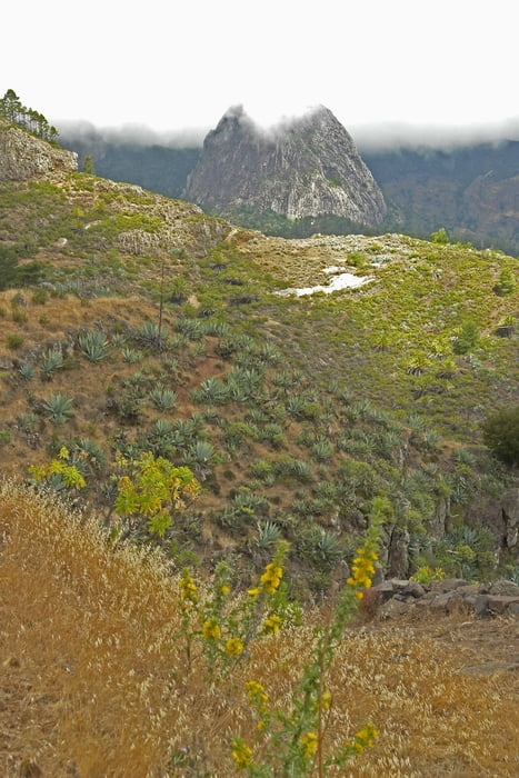
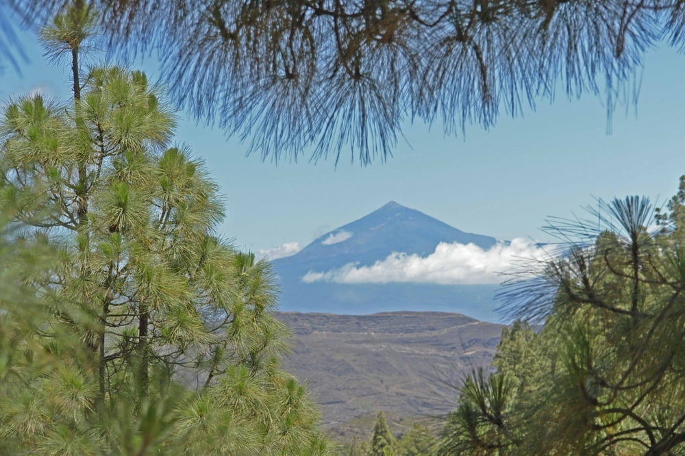
Etwas anstrengende Rundwanderung. Verläuft auf herrlich angelegten alten Caminos. Der Abstieg ist stark der Sonne ausgesetzt. Der Weiterweg führt streckenweise durch schöne, Schatten spendende Kiefernwälder. Der recht steile Abstieg nach La Laja und der anhaltende Aufstieg zur Höhenstrasse verlangt eine gute Kondition.
Tour gallery

Tour map and elevation profile
Minimum height 512 m
Maximum height 1168 m
More about the tour author

|
Banderolo |
Comments

Startpunkt der Wanderung ist der Mirador Degollada de Peraza an der Carretera del Sur nach Valle Gran Rey bei km 16 (Haltestelle der Buslinien 1,3,7.
GPS tracks
Trackpoints-
GPX / Garmin Map Source (gpx) download
-
TCX / Garmin Training Center® (tcx) download
-
CRS / Garmin Training Center® (crs) download
-
Google Earth (kml) download
-
G7ToWin (g7t) download
-
TTQV (trk) download
-
Overlay (ovl) download
-
Fugawi (txt) download
-
Kompass (DAV) Track (tk) download
-
Track data sheet (pdf) download
-
Original file of the author (gpx) download
More about the tour author
|
|
Banderolo |
Add to my favorites
Remove from my favorites
Edit tags
Open track
My score
Rate