Login

Forgotten password?

Cookies have to be accepted!
Your browser's cookie functionality is disabled. Please enable this functionality.

Not a member yet?

Register now
Login

Available for registred users only

Log in to use this feature.

Forgotten password?

Cookies have to be accepted!
Your browser's cookie functionality is disabled. Please enable this functionality.

Not a member yet?

Register now
Filter
Categories
Advanced filters
  • Distance (km)
  • Height
Save filters Reset filter

TrackRank

QRCode

Technical data

Distance29,4 km Height469 m Way down523 m Duration03:00 h:m Date07.02.2010
Scores Author User Landscape Fun factor Fitness Technique

Statistics

1145 Views 3 Scores 205 Downloads 3.67 Average
Rate
  • Track data sheet
  • Directions
  • Downloads

Stindertal -Arperwald Runde

Dies ist eine Rundtour und sie beginnt auf dem Wanderparkplatz an der Düsseldorfer Straße, am Haus Morp. Die Tour führt durch das Stindertal über Wanderwege in Richtung Mettmann. Weiter über Wirtschafts- oder Anliegerstraßen in Richtung Ratingen, hinter der Hubelrather Kaserne entlang, durch Düsseldorf Knittkuhl hindurch. Danach am Truppenübungsplatz vorbei an Düsseldorf Gerresheim und wieder zurück zum Parkplatz.

Viel Spaß beim Nachfahren.
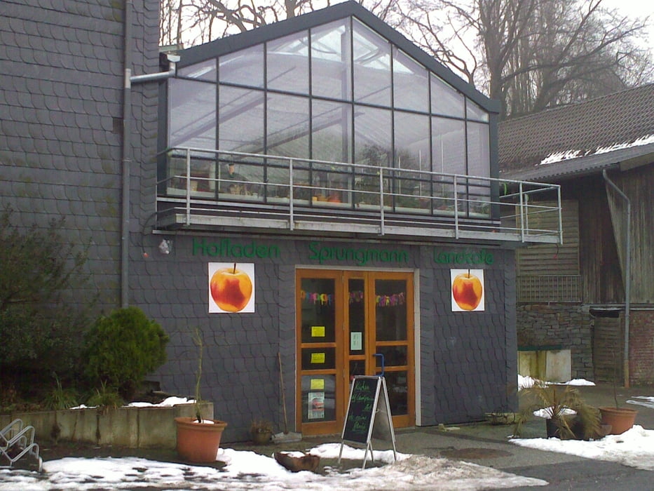
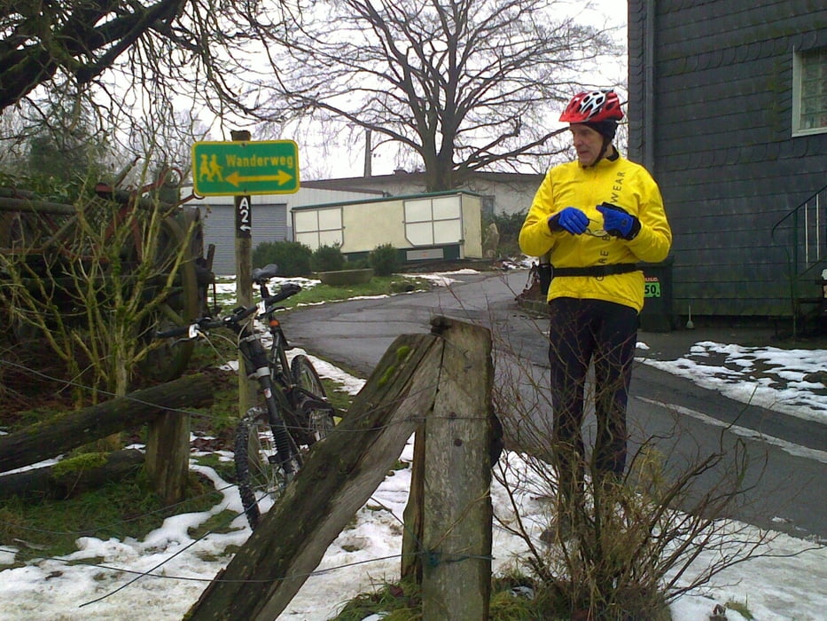
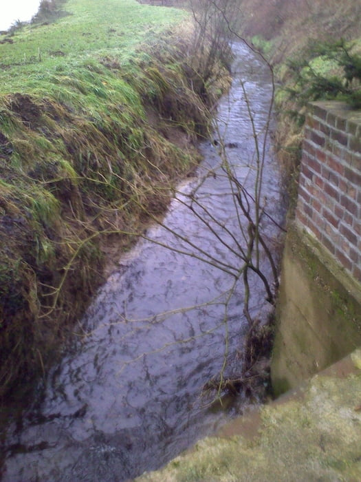
Tour gallery

Tour map and elevation profile

  • Open Street Map
  • Google
Minimum height 41 m Maximum height 163 m Detailed view

More about the tour author

MarcusVergin
Member since 2009

Send private message

Comments

Wayne70 on 02.05.2013

Krieg die Tour nicht hin

wollte die Tour jetzt schon 2 x fahren und immer wieder fehlte mit die Strecke meinem Garmin 800. Punkte waren da. Versuche es demnächst nochmals.

GPS tracks

Trackpoints
  • GPX / Garmin Map Source (gpx) download
  • TCX / Garmin Training Center® (tcx) download
  • CRS / Garmin Training Center® (crs) download
  • Google Earth (kml) download
  • G7ToWin (g7t) download
  • TTQV (trk) download
  • Overlay (ovl) download
  • Fugawi (txt) download
  • Kompass (DAV) Track (tk) download
  • Track data sheet (pdf) download
  • Original file of the author (gpx) download

More about the tour author

MarcusVergin
Member since 2009

Send private message
Share track
Add to my favorites
Remove from my favorites
Edit tags
My score
Rate
Track: Stindertal-Arperwald
Type: Mountain bike
Distance: 29,4 km
Evaluated on:
Duration:
Day(s)
Hour(s)
Minute(s)
Score: Landscape Fun factor Fitness Technique