


- Beste Zeit: Hochwinter (im Fürhjahr wirds mit dem Schnee knapp)
- Lawinengefahr: wenig bis mittel (bei entsprechender Spuranlage): Der untere Teil ist komplett im Wald, oben nur sehr wenige steile Stellen. Exposition ist West.
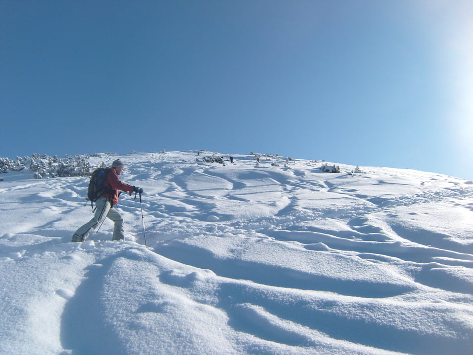
Weg: Direkt von der Straße weg geht man auf den Forstweg, dem man (mit wenigen Abkürzern) etwas mehr als eine Stunde folgt. In einer Linkskurve verlässt man den Weg und kommt man zur Mooslahner Alm. Von hier etwas steiler über zum Teil offene zum Teil mit Latschen bewachsene Hänge Richtung Westen zum Gipfel. In der Nähe des Grats bleiben, aber auf Schneewechten aufpassen. Kurz vor dem Gipfel kann man ein Skidepot machen. Die Abfahrt ist entlang des Aufstiegsweges.
Charakter: Landschaftlich eine super Tour, Blicke Richtung Sylvensteinspeicher und Karwendel sind jede Mühe wert. In der Abfahrt sind vor allem die oberen Hänge interessant, die aber auch stark befahren sind. Durch die Westausrichtung oft auch bei mittlerer Lawinenlage zu begehen.
Further information at
http://www.tourentipp.de/de/touren/details.php?id=389Tour gallery

Tour map and elevation profile
Minimum height 865 m
Maximum height 2102 m
More about the tour author

|
florianlederer |
Comments

Von Lenggries Richtung Sylvensteinspeicher und dann nach Vorderriß. Kurz hinter der Oswaldhütte parken, auf der linken Seite der Straße ist eine kleine Lichtung mit Alpenvereinsschild.
GPS tracks
Trackpoints-
GPX / Garmin Map Source (gpx) download
-
TCX / Garmin Training Center® (tcx) download
-
CRS / Garmin Training Center® (crs) download
-
Google Earth (kml) download
-
G7ToWin (g7t) download
-
TTQV (trk) download
-
Overlay (ovl) download
-
Fugawi (txt) download
-
Kompass (DAV) Track (tk) download
-
Track data sheet (pdf) download
-
Original file of the author (gpx) download
More about the tour author
|
|
florianlederer |
Add to my favorites
Remove from my favorites
Edit tags
Open track
My score
Rate