


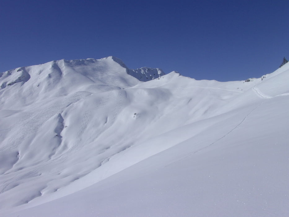
einfache, landschaftlich schöne Tour im kleinen Walsertal. Die Tour beginnt an dem extra für Tourengeher ausgewiesenen Parkplatz beim Liftbetrieb Ifen 2000 wo im Interesse des Liftbetreibers auch geparkt werden sollte. Entweder etwa 300 mtr. nach dem Parkplatz nach links durch den Wald oder direkt an der Auenhütte vorbei flach zur Melköde. Dann weiter Richtung Schwarzwasserhütte über die Ochsenhofer Scharte zum Grünhorn. Schöne ostseitige Abfahrt bis zur Starzelalpe auf knapp 1700 mtr. Dann nochmal anfellen und etwa 200 Hm Aufstieg zur Litzescharte und Abfahrt über die Galtochsenhofalpe bis man wieder auf den Weg zur Melköde trifft.
Tour gallery
Tour map and elevation profile
Minimum height 694 m
Maximum height 2047 m
More about the tour author
|
|
yr1willi |
Comments

über Kepten, Sonthofen, Oberstdorf in`s kleine Walsertal bis Ritzlern, nach der Breitachbrücke rechts zum Liftgebiet Ifen 2000, Parkplatz.
GPS tracks
Trackpoints-
GPX / Garmin Map Source (gpx) download
-
TCX / Garmin Training Center® (tcx) download
-
CRS / Garmin Training Center® (crs) download
-
Google Earth (kml) download
-
G7ToWin (g7t) download
-
TTQV (trk) download
-
Overlay (ovl) download
-
Fugawi (txt) download
-
Kompass (DAV) Track (tk) download
-
Track data sheet (pdf) download
-
Original file of the author (gpx) download
More about the tour author
|
|
yr1willi |
Add to my favorites
Remove from my favorites
Edit tags
Open track
My score
Rate