Login

Forgotten password?

Cookies have to be accepted!
Your browser's cookie functionality is disabled. Please enable this functionality.

Not a member yet?

Register now
Login

Available for registred users only

Log in to use this feature.

Forgotten password?

Cookies have to be accepted!
Your browser's cookie functionality is disabled. Please enable this functionality.

Not a member yet?

Register now
Filter
Categories
Advanced filters
  • Distance (km)
  • Height
Save filters Reset filter

TrackRank

QRCode

Technical data

Distance31,3 km Height482 m Way down602 m Duration03:50 h:m Date17.02.2010
Scores Author Landscape Fun factor Fitness Technique

Statistics

1525 Views Scores 30 Downloads Average
Rate
  • Track data sheet
  • Directions
  • Downloads


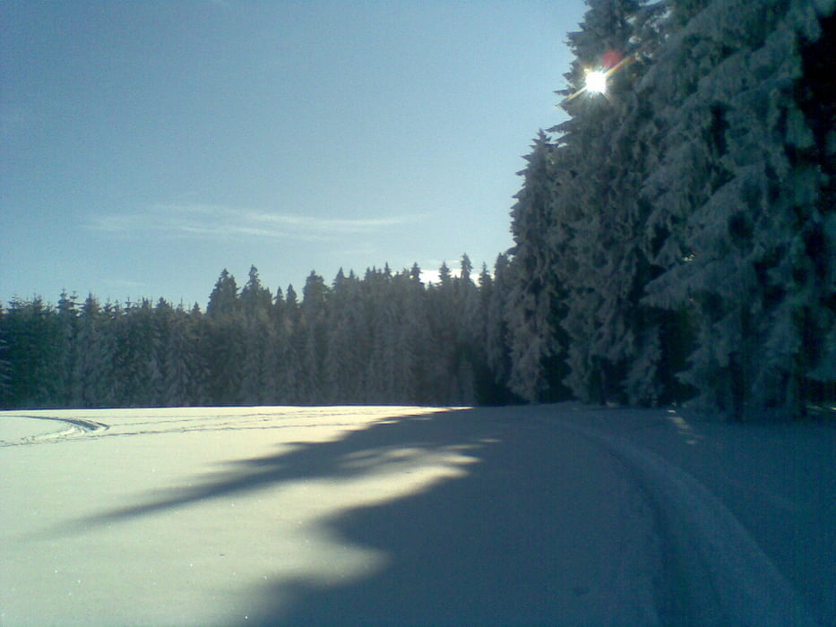
Das Waldgebiet zwischen Zwönitz und Geyrischer Teich ist ein tolles Langlaufgebiet, allerdings nicht so schneesicher wie die Kammloipe und manchmal auch nicht so gut gespurt.

Allerdings ist die Landschaft vielschichtiger und damit interessanter und man muß nicht zwangsläufig den gleichen Weg, den man gekommen ist wieder zurücklaufen.

Tour gallery

Tour map and elevation profile

  • Open Street Map
  • Google
Minimum height 518 m Maximum height 850 m Detailed view

More about the tour author

Traubfred
Member since 2008

Send private message

Comments

Einstieg/Ausstieg:

Parkplatz Fernsehturm an der Zwönitzer Strasse (zw. Zwönitz und Geyer)

GPS tracks

Trackpoints
  • GPX / Garmin Map Source (gpx) download
  • TCX / Garmin Training Center® (tcx) download
  • CRS / Garmin Training Center® (crs) download
  • Google Earth (kml) download
  • G7ToWin (g7t) download
  • TTQV (trk) download
  • Overlay (ovl) download
  • Fugawi (txt) download
  • Kompass (DAV) Track (tk) download
  • Track data sheet (pdf) download
  • Original file of the author (gpx) download

More about the tour author

Traubfred
Member since 2008

Send private message
Share track
Add to my favorites
Remove from my favorites
Edit tags
My score
Rate
Track: Rund um den Geyrischen Teich
Type: Cross-country skiing
Distance: 31,3 km
Evaluated on:
Duration:
Day(s)
Hour(s)
Minute(s)
Score: Landscape Fun factor Fitness Technique