


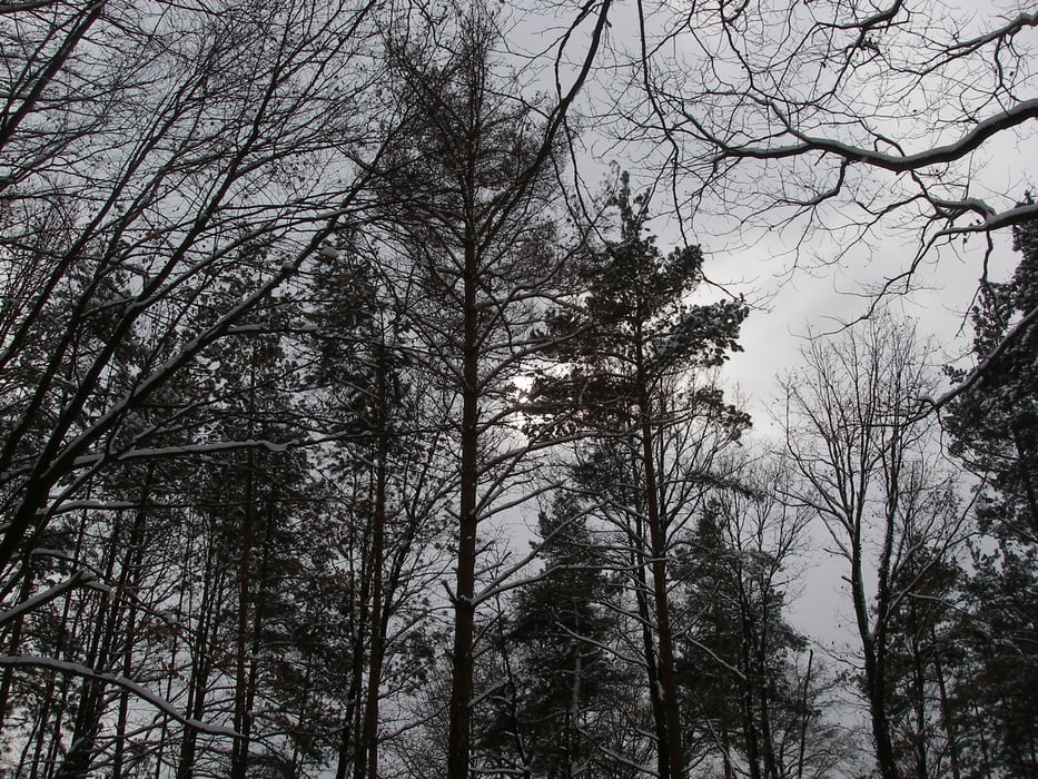
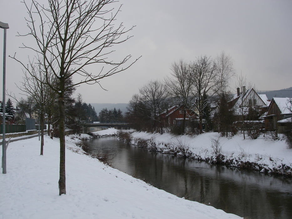
Wir starten in Plüderhausen am Bahnhof, Parkplätze sind vorhanden. Die Hauptstrasse überqueren, ein paar steile Treppen hoch, noch durch ein Wohngebiet und schon sind wir in der Natur des Schwäbischen Waldes.
Wir haben die Wanderung im Schnee gemacht, bietet sich dafür an.
Kurz bevor man ins Tal absteigt und der Wald aufhört, ist eine Standorttafel - allerdings ist der Standort falsch angegeben. Nicht verwirren lassen.
Further information at
http://www.pluederhausen.deTour gallery


Tour map and elevation profile
Minimum height 265 m
Maximum height 422 m
More about the tour author
|
|
Seili |
Comments

GPS tracks
Trackpoints-
GPX / Garmin Map Source (gpx) download
-
TCX / Garmin Training Center® (tcx) download
-
CRS / Garmin Training Center® (crs) download
-
Google Earth (kml) download
-
G7ToWin (g7t) download
-
TTQV (trk) download
-
Overlay (ovl) download
-
Fugawi (txt) download
-
Kompass (DAV) Track (tk) download
-
Track data sheet (pdf) download
-
Original file of the author (gpx) download
More about the tour author
|
|
Seili |
Add to my favorites
Remove from my favorites
Edit tags
Open track
My score
Rate