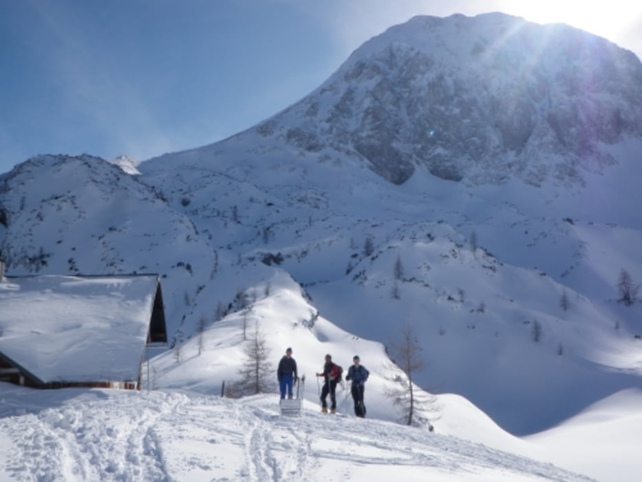
Winterweg auf die Laufener Hütte im Tennegebirge.
Aufstieg ab dem Parkplatz unter der Karalm. Anfahrt über Straße nach der Seilbahnstation.
Die Selbstversorgerhütte ist im Winter nicht geöffnet.
Der Winterraum ist mit dem AV Schlüssel zugänglich.
Bei Aufstieg und Abfahrt ist die Lawinengefahr zu beachten.
Nähere Infos zur Hütte unter www.alpenverein-laufen.de
Tour gallery
Tour map and elevation profile
Minimum height 949 m
Maximum height 1711 m
Comments

GPS tracks
Trackpoints-
GPX / Garmin Map Source (gpx) download
-
TCX / Garmin Training Center® (tcx) download
-
CRS / Garmin Training Center® (crs) download
-
Google Earth (kml) download
-
G7ToWin (g7t) download
-
TTQV (trk) download
-
Overlay (ovl) download
-
Fugawi (txt) download
-
Kompass (DAV) Track (tk) download
-
Track data sheet (pdf) download
-
Original file of the author (gpx) download
Add to my favorites
Remove from my favorites
Edit tags
Open track
My score
Rate

