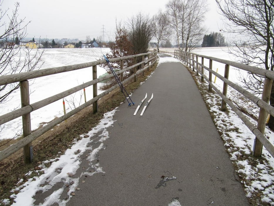
Eine beinahe ebene Langlaufstrecke auf einer alten Bahntrasse, die im Sommer ein beliebter Radweg ist. Eine Alternative zu der nördlich von Pleystein gelegenen Mitterbergloipe.
Geparkt habe ich an der Kreisstraße NEW 32. 100 m an der Straße entlang, dort kreuzt die Loipe diese Straße. Mein Weg führte zuerst links in Richtung Vohenstrauß. Man erreicht dann die höchste Stelle (Bedarfshaltestelle Fahrenberg, 605m) und fährt leicht abwärts.
Mitte März 2010 endete der Schnee ca. 1 km vor Vohenstrauß. Auf dem Rückweg fuhr ich dann weiter bis Pleystein und anschließend zurück zum PP.
Die gesamte Strecke ist gut gespurt, links und rechts klassisch, in der Mitte eine etwas zu schmal geratene Skatingspur.
Further information at
http://www.pleystein.com/impressionen.htm?05Tour gallery
Tour map and elevation profile
Comments

BAB Nürnberg – Prag, Ausfahrt Pleystein (kurz vor der tschechischen Grenze) dann über die NEW 33 direkt nach Pleystein
GPS tracks
Trackpoints-
GPX / Garmin Map Source (gpx) download
-
TCX / Garmin Training Center® (tcx) download
-
CRS / Garmin Training Center® (crs) download
-
Google Earth (kml) download
-
G7ToWin (g7t) download
-
TTQV (trk) download
-
Overlay (ovl) download
-
Fugawi (txt) download
-
Kompass (DAV) Track (tk) download
-
Track data sheet (pdf) download
-
Original file of the author (gpx) download


