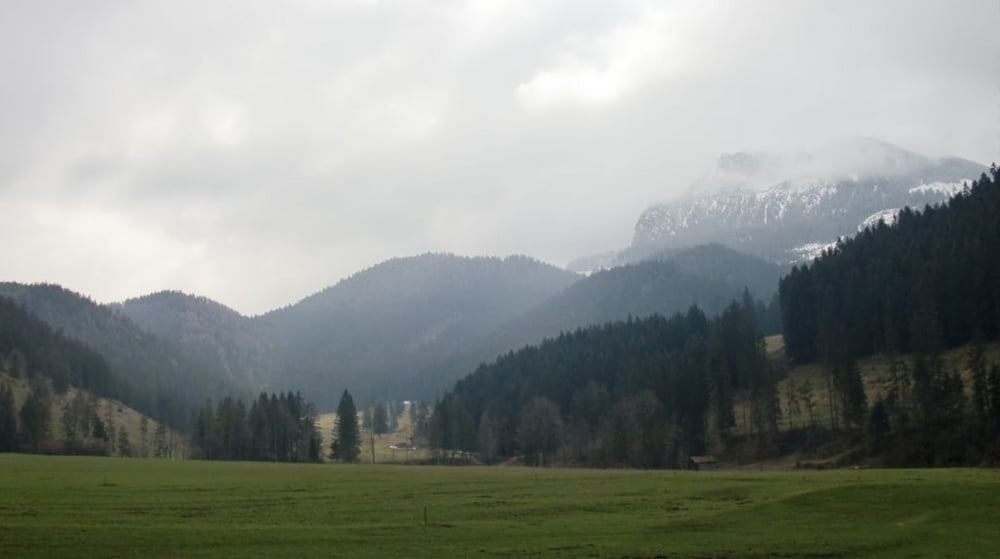
Kurze Runde um den Schwarzenberg auf guten Forststrassen. Erträgliche Steigungen, nur ab Elbach bis zur Diensthütte deutlich über 15 %.
Immer wieder schöne Blicke Richtung Leitzachtal und Wendelstein, an der ( mit einem kurzen Abstecher erreichbaren ) Tregler-Alm schöner Blick Richtung Bad Aibling in's Inntal.
Further information at
http://www.tregleralm.deTour gallery
Tour map and elevation profile
Comments

Von München kommend über die A8 Richtung Salzburg bis zur Ausfahrt Bad Aibling. Dort rechts Richtung Bad Feilnbach. Kurz vor Bad Feilnbach rechts Richtung Fischbachau / Hundham und bei Deisenried rechts auf den Parkplatz. ( Gebührenfrei, eine "Spende" wird erbeten ).
GPS tracks
Trackpoints-
GPX / Garmin Map Source (gpx) download
-
TCX / Garmin Training Center® (tcx) download
-
CRS / Garmin Training Center® (crs) download
-
Google Earth (kml) download
-
G7ToWin (g7t) download
-
TTQV (trk) download
-
Overlay (ovl) download
-
Fugawi (txt) download
-
Kompass (DAV) Track (tk) download
-
Track data sheet (pdf) download
-
Original file of the author (gpx) download


