


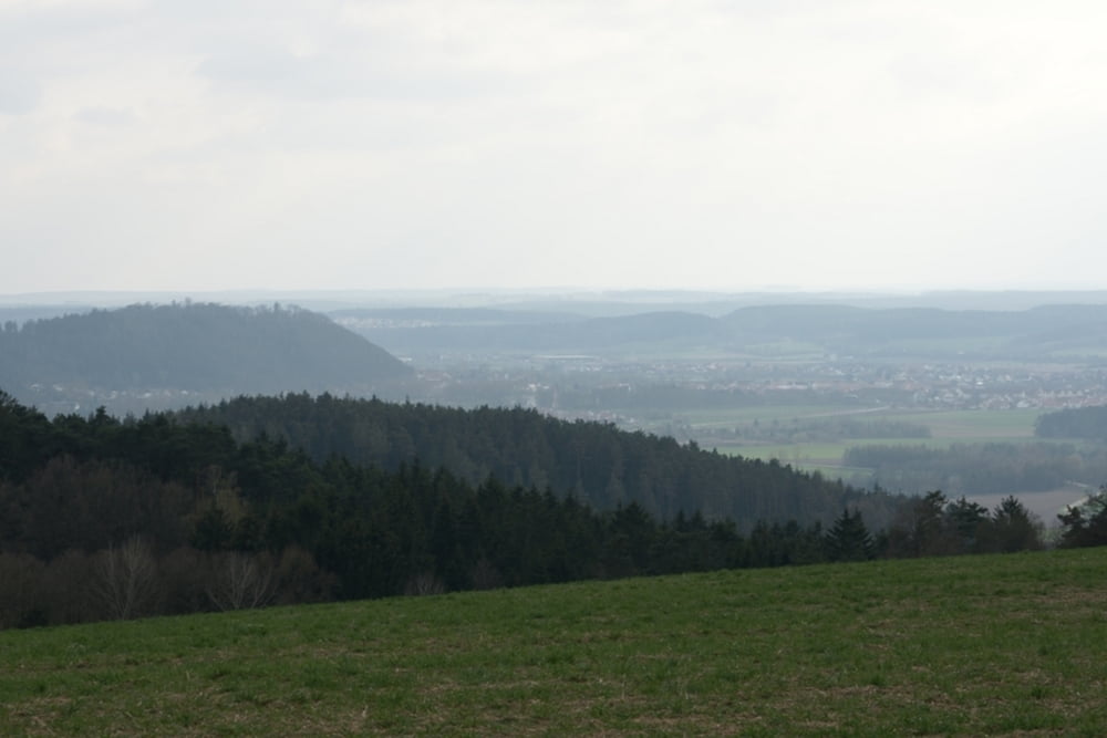
Tolle Runde um Regenstauf auf gut ausgebauten Waldwegen. Daher auch bei Schlechtwetterperioden geeignet. Ist weniger was für Techniker, mehr um die Trittfrequenz zu trainieren. Entlohnung für die Kurbelarbeit gibt es kurz nach Asing, hier hat man eine tollen Blick übers Regental, Schlossberg und Regenstauf.
Achtung bei den Abfahrten, die hätten teilweise noch einen dritten Stern bei Technik verdient.
Tour gallery
Tour map and elevation profile
Minimum height 301 m
Maximum height 512 m
More about the tour author

|
udgps |
Comments

Der beste Einstieg in die Runde ist dei der Waldschänke Steinsberg. Gleichzeitig auch ein toller Abschluss im dortigen Biergarten.
Reiterberg 3, 93128 Steinsberg, Regenstauf
GPS tracks
Trackpoints-
GPX / Garmin Map Source (gpx) download
-
TCX / Garmin Training Center® (tcx) download
-
CRS / Garmin Training Center® (crs) download
-
Google Earth (kml) download
-
G7ToWin (g7t) download
-
TTQV (trk) download
-
Overlay (ovl) download
-
Fugawi (txt) download
-
Kompass (DAV) Track (tk) download
-
Track data sheet (pdf) download
-
Original file of the author (gpx) download
More about the tour author
|
|
udgps |
Add to my favorites
Remove from my favorites
Edit tags
Open track
My score
Rate