Login

Forgotten password?

Cookies have to be accepted!
Your browser's cookie functionality is disabled. Please enable this functionality.

Not a member yet?

Register now
Login

Available for registred users only

Log in to use this feature.

Forgotten password?

Cookies have to be accepted!
Your browser's cookie functionality is disabled. Please enable this functionality.

Not a member yet?

Register now
Filter
Categories
Advanced filters
  • Distance (km)
  • Height
Save filters Reset filter

TrackRank

QRCode

Technical data

Distance116,3 km Height1957 m Way down1966 m Duration00:00 h:m Date11.04.2010
Scores Author Landscape Fun factor Fitness Technique

Statistics

1502 Views Scores 118 Downloads Average
Rate
  • Track data sheet
  • Directions
  • Downloads

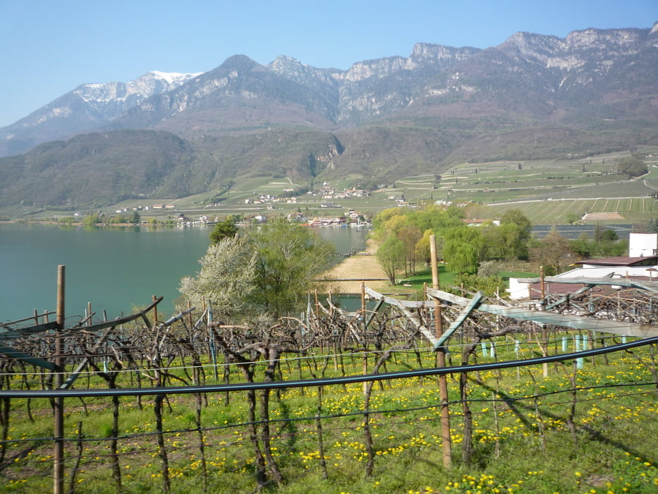
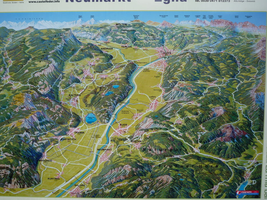
Hier ein Vorschlag die Runde über den Mendel- & Gampenpass noch etwas zu verlängern. Start war hier am Hotel Sigmundskron, direkt an der Weinstraße = die Auffahrt zum Mendelpass. Nach den beiden Pässen von Lana zurück nach Bozen und von dort über den Etschradweg nach Süden. Bei Auer ins Frühlingstal am Kalterer See vorbei und zürück zum Ausgangspunkt. Schöne anspruchsvolle Runde.

Further information at

http://www.sigmundskron.com

Tour gallery

Tour map and elevation profile

  • Open Street Map
  • Google
Minimum height 217 m Maximum height 1524 m Detailed view

More about the tour author

FLU
Member since 2009

Send private message

Comments

GPS tracks

Trackpoints
  • GPX / Garmin Map Source (gpx) download
  • TCX / Garmin Training Center® (tcx) download
  • CRS / Garmin Training Center® (crs) download
  • Google Earth (kml) download
  • G7ToWin (g7t) download
  • TTQV (trk) download
  • Overlay (ovl) download
  • Fugawi (txt) download
  • Kompass (DAV) Track (tk) download
  • Track data sheet (pdf) download
  • Original file of the author (gpx) download

More about the tour author

FLU
Member since 2009

Send private message
Share track
Add to my favorites
Remove from my favorites
Edit tags
My score
Rate
Track: Mendel- & Gampenpass und Frühlingstal
Type: Road biking
Distance: 116,3 km
Evaluated on:
Duration:
Day(s)
Hour(s)
Minute(s)
Score: Landscape Fun factor Fitness Technique