


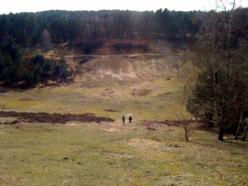
Kleine aber feine Harburg-Tour. Mit 675 Höhenmeter nicht ganz so ergiebig wie andere hier, aber zumeist gut fahrbahr. Kurze Passagen mit 20% Steigung und ein paar sehr schöne wurzelige "Downhills". Dazu die Fischbeker Heide, den Karlsstein und den Xtrail-Hohlweg.
Start und Ziel ist die Kärntner Hütte. Einkehren nach erfolgreicher Tour ist ein Muss. Wenn einen die Tour noch nicht geschafft hat, dann spätestens der superleckere riesige Kaiserschmarrn.
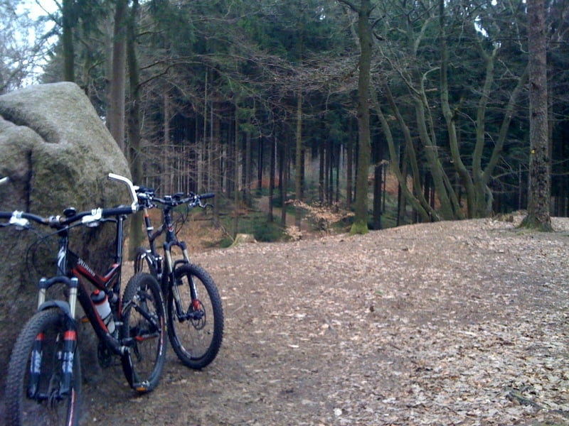
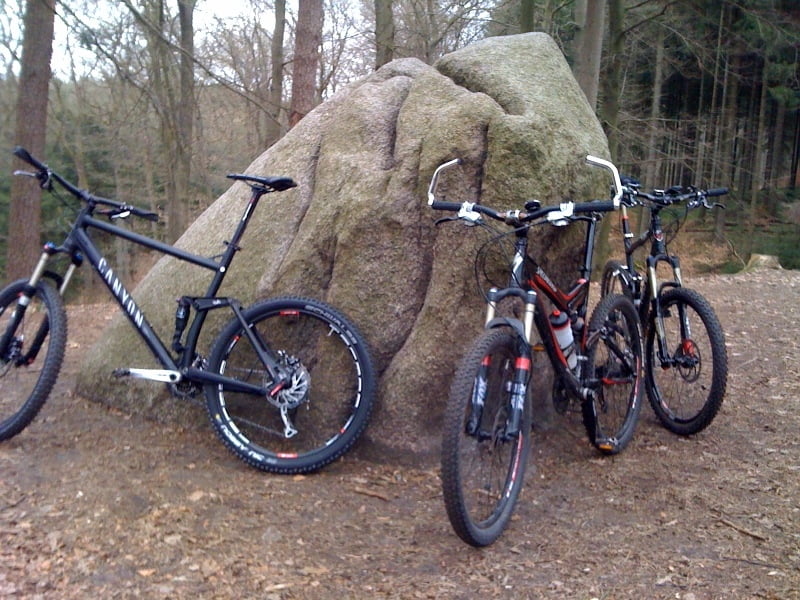
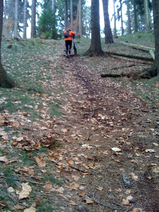
Tour gallery

Tour map and elevation profile
Minimum height -12 m
Maximum height 118 m
More about the tour author
|
|
iRolls |
Comments

BAB 1, Abfahrt Harburg, immer Richtung BAB 7. Rechter Hand kommt irgendwann Burger King (Urgs), danach die nächste links. Parkplätze sind reichlich vorhanden.
Achtung: Auf der Strecke Höhe Harburg steht ein Blitzer. Tempo also besser erst im Wald:-)
GPS tracks
Trackpoints-
GPX / Garmin Map Source (gpx) download
-
TCX / Garmin Training Center® (tcx) download
-
CRS / Garmin Training Center® (crs) download
-
Google Earth (kml) download
-
G7ToWin (g7t) download
-
TTQV (trk) download
-
Overlay (ovl) download
-
Fugawi (txt) download
-
Kompass (DAV) Track (tk) download
-
Track data sheet (pdf) download
-
Original file of the author (gpx) download
More about the tour author
|
|
iRolls |
Add to my favorites
Remove from my favorites
Edit tags
Open track
My score
Rate