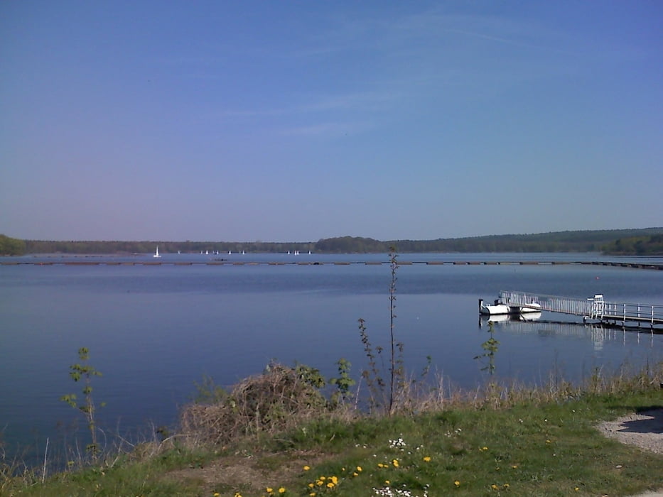
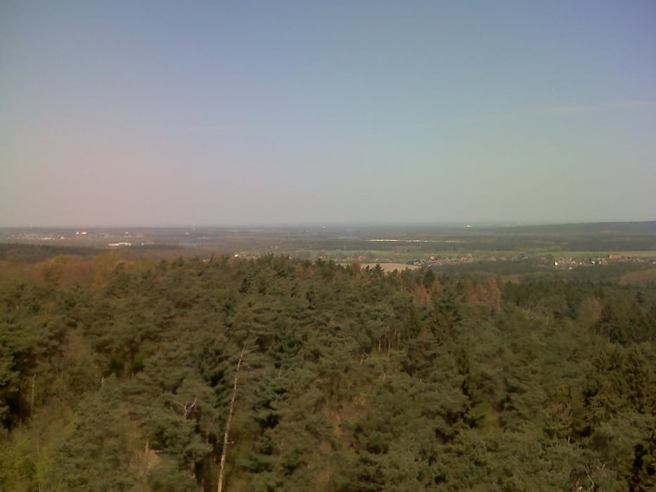
halt mal wieder eine Vorbereitungstour nach dem langen Winter... einfach ein bisschen Strecke fahren, Höhenmeter haben wir ja hier eh kaum zu bieten...
Tour gallery
Tour map and elevation profile
Minimum height 34 m
Maximum height 145 m
Comments

Ottmarsbocholt Tankstelle
GPS tracks
Trackpoints-
GPX / Garmin Map Source (gpx) download
-
TCX / Garmin Training Center® (tcx) download
-
CRS / Garmin Training Center® (crs) download
-
Google Earth (kml) download
-
G7ToWin (g7t) download
-
TTQV (trk) download
-
Overlay (ovl) download
-
Fugawi (txt) download
-
Kompass (DAV) Track (tk) download
-
Track data sheet (pdf) download
-
Original file of the author (gpx) download
Add to my favorites
Remove from my favorites
Edit tags
Open track
My score
Rate


