


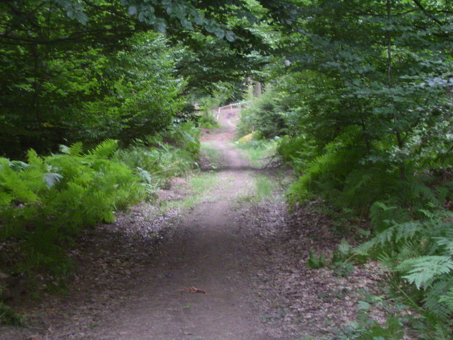
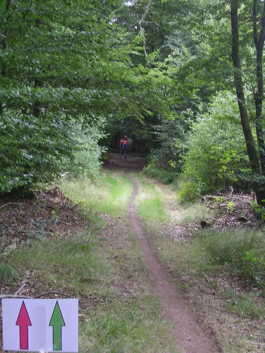
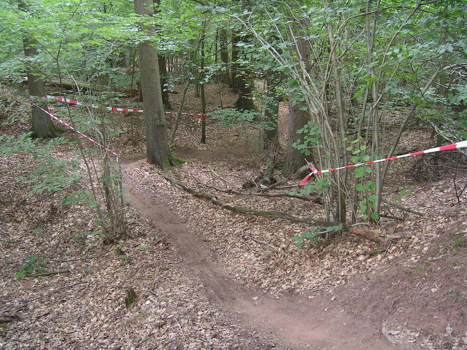
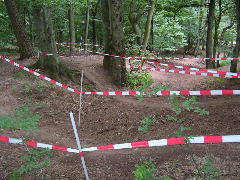
Es handelt sich hier um die Halbmarathonstrecke des MTB-Marathon St. Wendel 2010. Start und Ziel war das Sportzentrum der Kreisstadt. Von dort geht's vorbei an der Tennisanlage, Plantagenweg den Kniebrecher hoch über Panoramaweg in die Wälder zwischen Werschweiler, Dörrenbach, Niederlinxweiler und Spiemont. Es gibt ein paar knackige Steigungen, jedoch ist die Strecke insgesamt technisch machbar. Einzige Ausnahme ist eine etwas knifflige Trailpassage am Spiemont (vgl. Foto). Die Strecke ist nicht ausgeschildert.
Die Strecke deckt sich auf den ersten 52 km mit der Langstrecke, die danach für eine 2. Schleife in die Wälder oberhalb des Wendelinushofes Richtung Urweiler, Leitersweiler, Hoof, Marth u. Niederkirchen und Werschweiler führt.
Die 2. Schleife der Langstrecke ist ebenfalls hier gespeichert unter Tour # 62822
Further information at
http://www.sankt-wendel.de/sport/worlds-mtb-marathon/strecken/Tour gallery
Tour map and elevation profile
Minimum height 274 m
Maximum height 409 m
More about the tour author

|
Comments

GPS tracks
Trackpoints-
GPX / Garmin Map Source (gpx) download
-
TCX / Garmin Training Center® (tcx) download
-
CRS / Garmin Training Center® (crs) download
-
Google Earth (kml) download
-
G7ToWin (g7t) download
-
TTQV (trk) download
-
Overlay (ovl) download
-
Fugawi (txt) download
-
Kompass (DAV) Track (tk) download
-
Track data sheet (pdf) download
-
Original file of the author (gpx) download
More about the tour author
|
|
Add to my favorites
Remove from my favorites
Edit tags
Open track
My score
Rate