


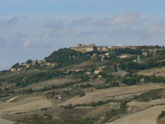
Sehr schöne aber anstrengende Tour! Nach dem Start bei Saline di Volterra geht es gleich mal 400Hm hoch nach Volterra. Hier lohnt sich ein Abstecher in die Altstadt. Dann geht es hügelig weiter nach San Gimignano. Hier sollte man sich ein Eis vom Weltmeister gönnen! Dann über einsame Straßen in einer weiten Schleife nach Süden und wieder zurück nach Saline. Hinter Pomeranze kann man entweder meinem Track folgen (sehr schön, aber leider schlechte Straße!) oder gerade weiter nach Saline fahren.
Tour gallery
Tour map and elevation profile
Minimum height 7 m
Maximum height 607 m
More about the tour author

|
Comments

Von Cecina Richtung Volterra/ Sienna. kurz vor Saline hat man die Möglichkeit bei einer Pizzeria zu parken.
GPS tracks
Trackpoints-
GPX / Garmin Map Source (gpx) download
-
TCX / Garmin Training Center® (tcx) download
-
CRS / Garmin Training Center® (crs) download
-
Google Earth (kml) download
-
G7ToWin (g7t) download
-
TTQV (trk) download
-
Overlay (ovl) download
-
Fugawi (txt) download
-
Kompass (DAV) Track (tk) download
-
Track data sheet (pdf) download
-
Original file of the author (gpx) download
More about the tour author
|
|
Add to my favorites
Remove from my favorites
Edit tags
Open track
My score
Rate