


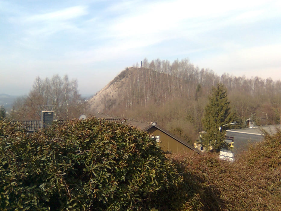
Heute geht es zum Monte Schlacko.
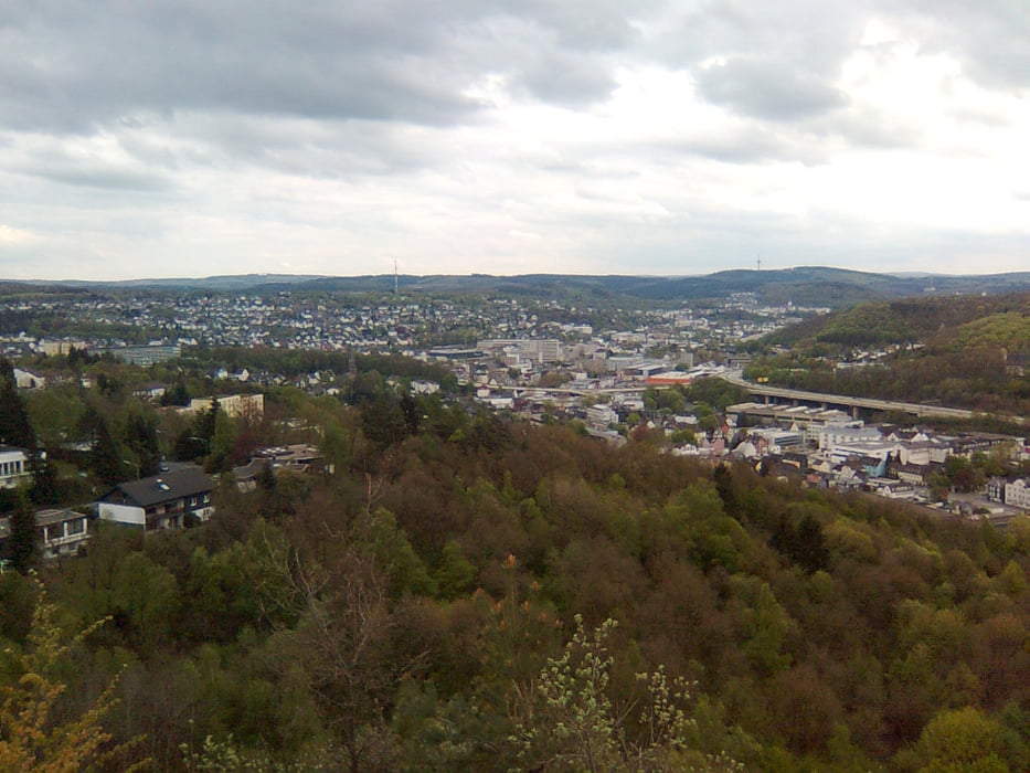
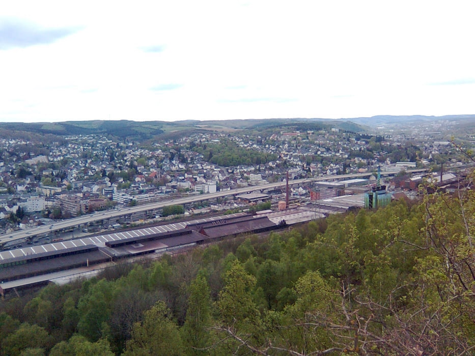
Jeder der schon mal von Siegen über die HTS nach Kreuztal gefahren ist (oder umgekehrt) wird Ihn kennen ohne es zu wissen.
Es ist der riesige Schlackehaufen rechts oberhalb vom Industriegebiet von Geisweid.
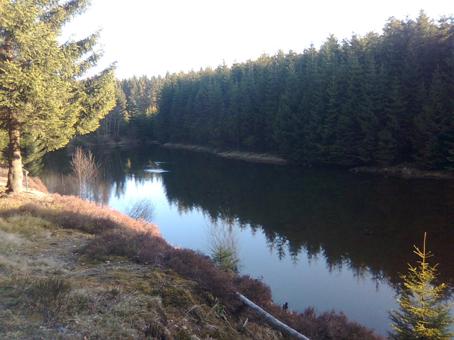
Wer jetzt denkt, das Stadtgefahre kann ich mir auch sparen, der liegt total falsch.Vom Start bis zum Monte Schlacko überquert man 5x eine Hauptstrasse, ansonsten nur "WALD".
Beim Wegpunkt "Denkmal" sehr schöne und ruhige Location für'ne Pause!
Vom Monte Schlacko gehts fast nur durch verschlungene Pfade bis Weidenau (alte Landstrasse)ca.500m entlang, und gleich wieder ein Mega Uphill hinauf über Weidenau bis Netphen , oberhalb der Talsperre bis Walpersdorf, und über die Siegquelle zum Startpunkt.
Viel Spass
Tour gallery
Tour map and elevation profile
Minimum height 254 m
Maximum height 631 m
More about the tour author
|
|
Yetie |
Comments

Diese Tour ist eine Rundtour, und kann überall gestartet werden!
GPS tracks
Trackpoints-
GPX / Garmin Map Source (gpx) download
-
TCX / Garmin Training Center® (tcx) download
-
CRS / Garmin Training Center® (crs) download
-
Google Earth (kml) download
-
G7ToWin (g7t) download
-
TTQV (trk) download
-
Overlay (ovl) download
-
Fugawi (txt) download
-
Kompass (DAV) Track (tk) download
-
Track data sheet (pdf) download
-
Original file of the author (gpx) download
More about the tour author
|
|
Yetie |
Add to my favorites
Remove from my favorites
Edit tags
Open track
My score
Rate