


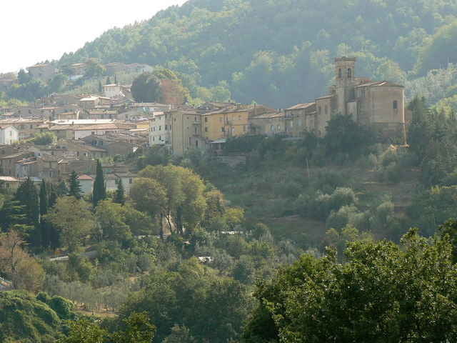
Schöne und anstrengende Tour durch die Toskana! Man startet in Vada bzw. in Cecina und verläßt bald den Trubel der Küste. Auf der Strada del Vino geht es hügelig nach Volterra. (sehenswerte Altstadt) Von dort über eine geniale lange Abfahrt noch Norden Richtung Pontedera. Auf der SS439 fährt man eben in der prallen Sonne bis zum Abzweig nach Terriccjola. Ab hier wird es wieder bergig. Am Ortseingang kann man sich rechts an einer der wenigen Quellen erfrischen.
Nach dem Monte Vaso (Fernsehturm) geht es nur noch bergab zur Küste.
Nach dem Monte Vaso (Fernsehturm) geht es nur noch bergab zur Küste.
Tour gallery
Tour map and elevation profile
Minimum height 6 m
Maximum height 506 m
More about the tour author

|
Comments

Start ist südlich von Livorno (Vada, Cecina)
GPS tracks
Trackpoints-
GPX / Garmin Map Source (gpx) download
-
TCX / Garmin Training Center® (tcx) download
-
CRS / Garmin Training Center® (crs) download
-
Google Earth (kml) download
-
G7ToWin (g7t) download
-
TTQV (trk) download
-
Overlay (ovl) download
-
Fugawi (txt) download
-
Kompass (DAV) Track (tk) download
-
Track data sheet (pdf) download
-
Original file of the author (gpx) download
More about the tour author
|
|
Add to my favorites
Remove from my favorites
Edit tags
Open track
My score
Rate