Login

Forgotten password?

Cookies have to be accepted!
Your browser's cookie functionality is disabled. Please enable this functionality.

Not a member yet?

Register now
Login

Available for registred users only

Log in to use this feature.

Forgotten password?

Cookies have to be accepted!
Your browser's cookie functionality is disabled. Please enable this functionality.

Not a member yet?

Register now
Filter
Categories
Advanced filters
  • Distance (km)
  • Height
Save filters Reset filter

TrackRank

QRCode

Technical data

Distance59,7 km Height504 m Way down545 m Duration03:40 h:m Date29.09.2006
Scores Author Landscape Fun factor Fitness Technique

Statistics

1699 Views Scores 409 Downloads Average
Rate
  • Track data sheet
  • Directions
  • Downloads
Schöne Halbtagestour mit einem Abstecher zu einem weissen Sandstrand bei Vada!
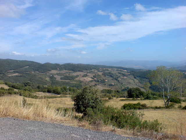
Halbtagestour durch zum Teil reizvolle Landschaften.

Tour gallery

Tour map and elevation profile

  • Open Street Map
  • Google
Minimum height 2 m Maximum height 394 m Detailed view

More about the tour author

Guido

Comments

Start bei Vada/Cecina südlich von Livorno

GPS tracks

Trackpoints
  • GPX / Garmin Map Source (gpx) download
  • TCX / Garmin Training Center® (tcx) download
  • CRS / Garmin Training Center® (crs) download
  • Google Earth (kml) download
  • G7ToWin (g7t) download
  • TTQV (trk) download
  • Overlay (ovl) download
  • Fugawi (txt) download
  • Kompass (DAV) Track (tk) download
  • Track data sheet (pdf) download
  • Original file of the author (gpx) download

More about the tour author

Guido

Share track
Add to my favorites
Remove from my favorites
Edit tags
My score
Rate
Track: Cecina - Pomaia
Type: Road biking
Distance: 59,7 km
Evaluated on:
Duration:
Day(s)
Hour(s)
Minute(s)
Score: Landscape Fun factor Fitness Technique