


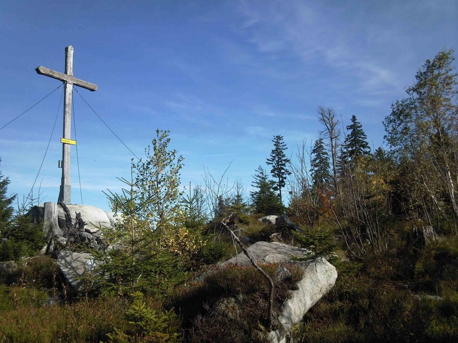
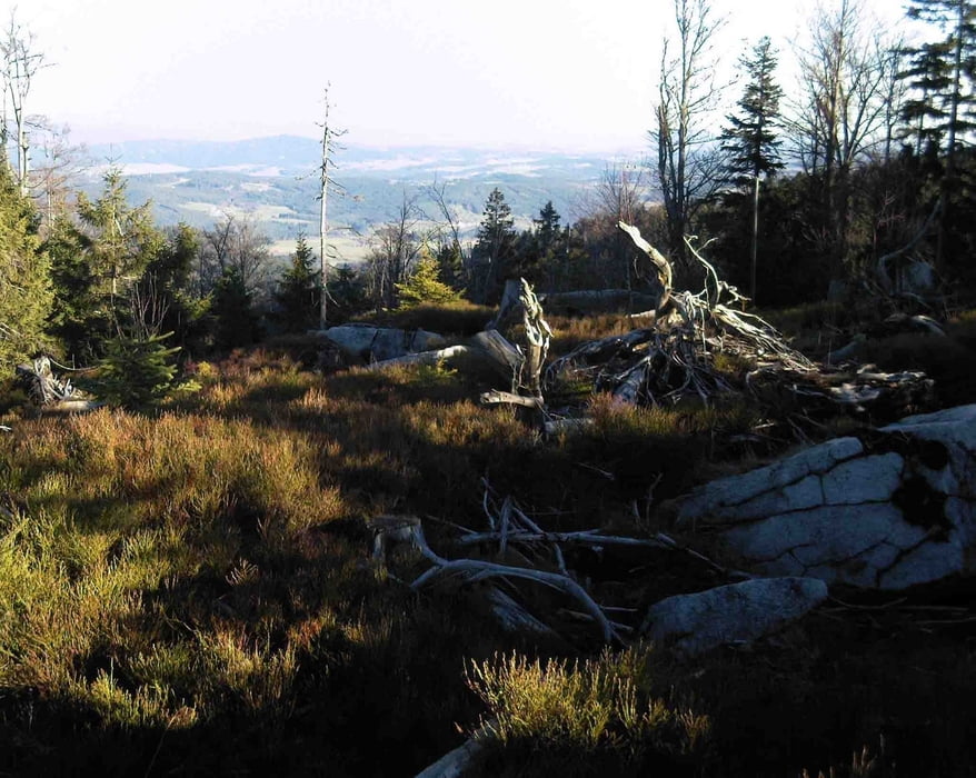
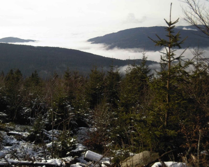
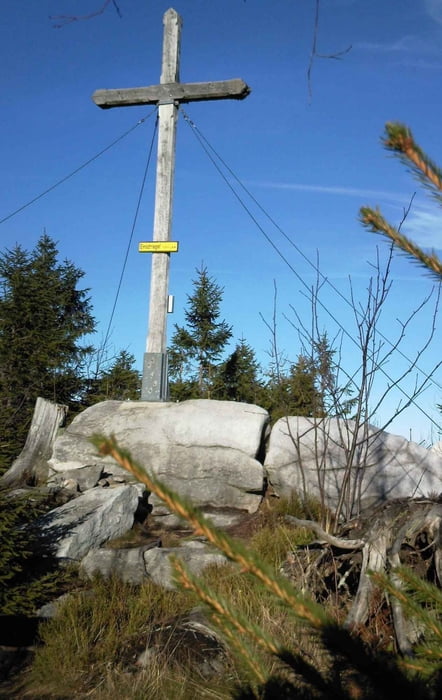
Eine kleine Wandertour, die man auch schnell mal am Abend noch machen kann - als gemütliche Wanderung oder auch mit den Walkingstöcken als Trainigsrunde. Dann dauert es nur 1,5 Stunden. Vom Parkplatz aus geht es gleich in den Wald und in angenehmer Steigung auf Forstraßen oder Wanderwegen bergauf. Im oberen Bereich gibt es einige Stellen mit herrlicher Aussicht - bei guter Fernsicht bis in die Alpen.
Tour gallery
Tour map and elevation profile
Minimum height 780 m
Maximum height 1114 m
More about the tour author

|
oreste |
Comments

Von der B11 aus bei Ruhmannsfelden in Richtung March abbiegen, dann nach Zachenberg und weiter nach Kleinried. Am Ende der Straße befindet sich der Parkplatz.
GPS tracks
Trackpoints-
GPX / Garmin Map Source (gpx) download
-
TCX / Garmin Training Center® (tcx) download
-
CRS / Garmin Training Center® (crs) download
-
Google Earth (kml) download
-
G7ToWin (g7t) download
-
TTQV (trk) download
-
Overlay (ovl) download
-
Fugawi (txt) download
-
Kompass (DAV) Track (tk) download
-
Track data sheet (pdf) download
-
Original file of the author (gpx) download
More about the tour author
|
|
oreste |
Add to my favorites
Remove from my favorites
Edit tags
Open track
My score
Rate