
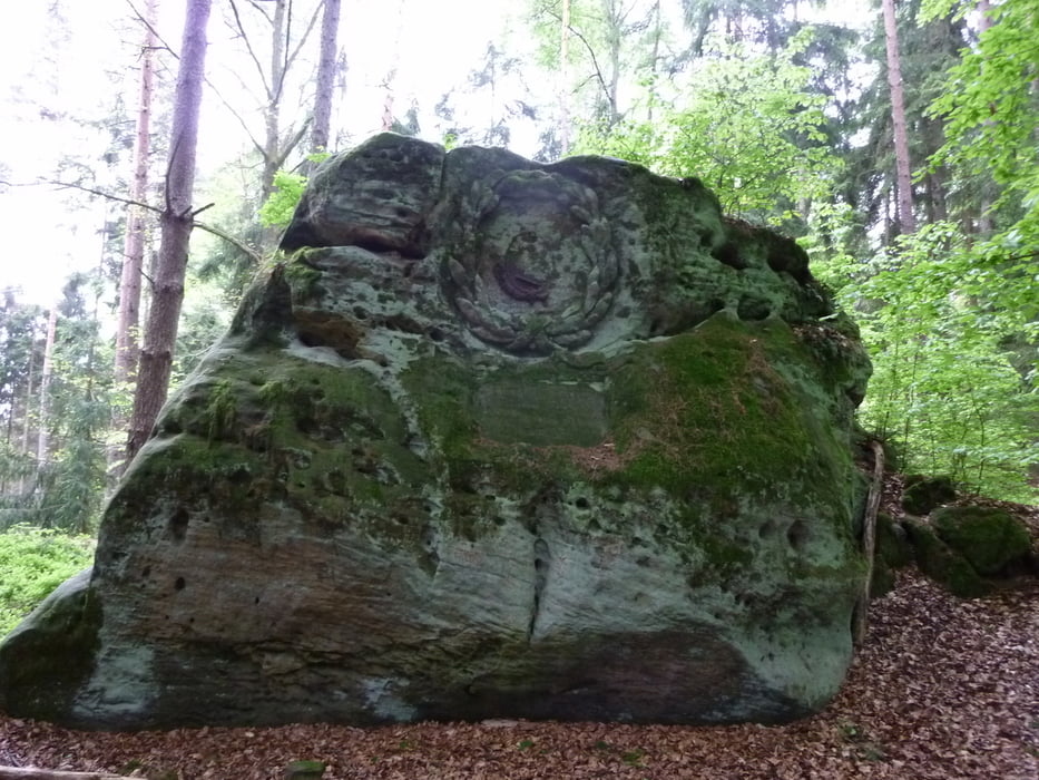

Mit gerade mal 4 km, ist diese Wanderung wohl eher ein ausgedehnter Spaziergang. Dennoch bietet er eine recht abwechslungsreiche Strecke und durch häufiges auf und ab, auch einen gewissen Anspruch. Eine schöne Strecke, welche man auch dann machen kann, wenn man nicht den ganzen Tag Zeit hat. Auf Grund der doch recht matschigen und teilweise unwegsamen Pfade, sollte die Wanderung nicht mir Kinderwägen oder Rollstühlen in Angriff genommen werden.
Further information at
http://wandern-im-coburger-land.de/ahornerwaldrunde.htmlTour gallery

Tour map and elevation profile
Minimum height 350 m
Maximum height 845 m
More about the tour author
|
|
screwtapecoburg |
Comments

Geparkt werden kann an der Kreuzung, an der man von der B303 Richtung Wohlbach abbiegt. Gleich nach der Abbiegung geht es links in dein kleine Straße an deren Ende, ca. 100m, eine kleine Stellfläche zur Verfügung steht.
GPS tracks
Trackpoints-
GPX / Garmin Map Source (gpx) download
-
TCX / Garmin Training Center® (tcx) download
-
CRS / Garmin Training Center® (crs) download
-
Google Earth (kml) download
-
G7ToWin (g7t) download
-
TTQV (trk) download
-
Overlay (ovl) download
-
Fugawi (txt) download
-
Kompass (DAV) Track (tk) download
-
Track data sheet (pdf) download
-
Original file of the author (gpx) download
More about the tour author
|
|
screwtapecoburg |
Add to my favorites
Remove from my favorites
Edit tags
Open track
My score
Rate