

Reizvolle, abwechslungsreiche Wanderung, vorbei an Gipskarstklippen, durch Buchenwälder und über Wiesen und Felder.
Startpunkt ist Bahnhof Ellrich. Dann über den Bahnübergang östlich vom Bahnhof. Leider muss man nach dem Bahnübergang ca. 400m entlang der wenig befahrenen Straße nach Gudersleben gehen, bis man in den Karstwanderweg einbiegen kann. Eine andere Möglichkeit haben wir nicht gefunden.
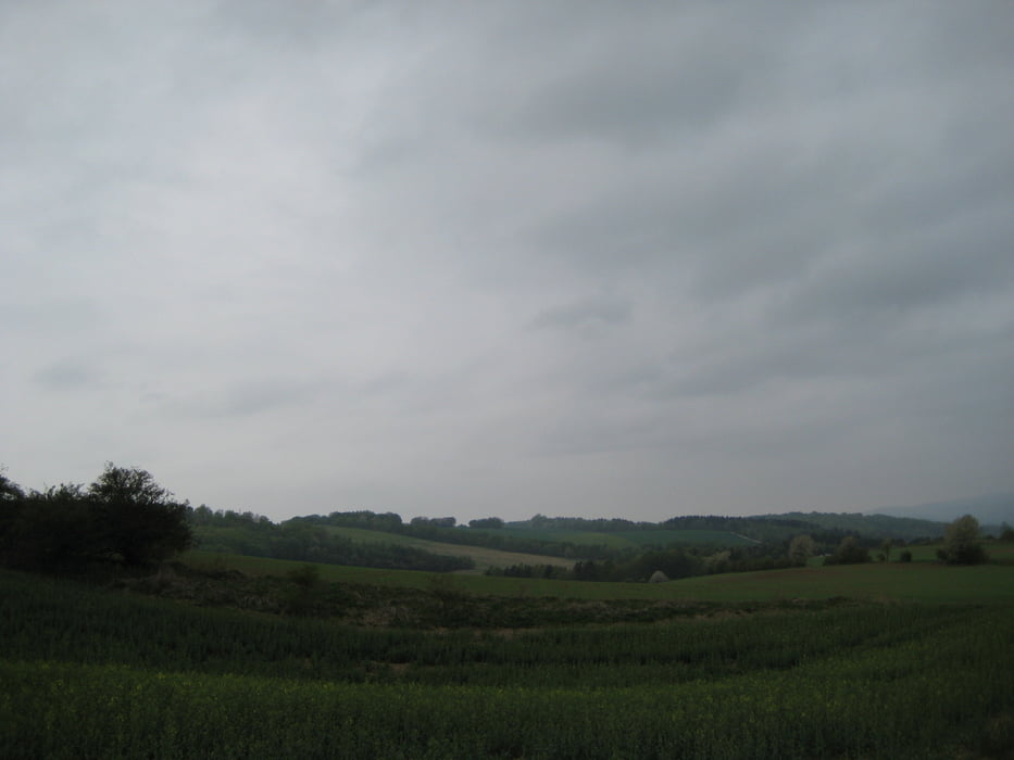
Es geht weiter über Feld- und Wiesenwege durch eine weite hüglige Landschaft mit schönen Ausblicken zum Harz und ins südliche Harzvorland.
Der Weg endet wieder in der Nähe des Bahnhofs, an der Gedenkstätte KZ-Außenlager Juliushütte, wo die Grausamkeiten 1944/45 anhand der Grundmauern und Infotafeln dokumentiert werden und an denen man innehalten sollte.
Further information at
http://www.karstwanderweg.de/kww050.htmTour gallery


Tour map and elevation profile
Minimum height 242 m
Maximum height 335 m
More about the tour author
|
|
uffehiker |
Comments

GPS tracks
Trackpoints-
GPX / Garmin Map Source (gpx) download
-
TCX / Garmin Training Center® (tcx) download
-
CRS / Garmin Training Center® (crs) download
-
Google Earth (kml) download
-
G7ToWin (g7t) download
-
TTQV (trk) download
-
Overlay (ovl) download
-
Fugawi (txt) download
-
Kompass (DAV) Track (tk) download
-
Track data sheet (pdf) download
-
Original file of the author (gpx) download
More about the tour author
|
|
uffehiker |
Add to my favorites
Remove from my favorites
Edit tags
Open track
My score
Rate