


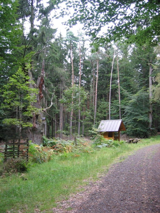
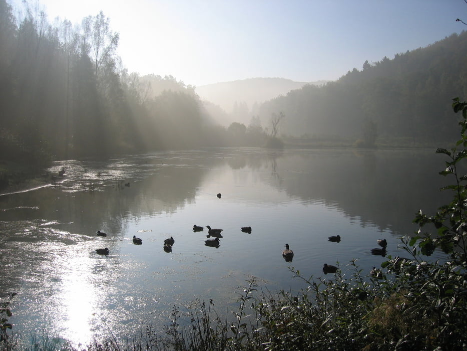
Von Bad Soden-Salmünster-Ahl ab der Bikeschmiede zum Jägerheilige nach Alsberg vorbei am Golfplatz ein Stück auf dem Eselweg kleines Trailstück bis zum Merneser Heilige, dann zur Bildeiche. Ab der Bildeiche über Trail bisAbzweig zu den Hirschbornteichen über rauher Berg zurück nach B.S.S.-Ahl
Achtung!!
12.10.2010
Das Stück Trail ab der Bildeiche zu den Hirschbornteiche ist der Harvester durch und Bäume liegen über dem Weg sehr schlecht fahrbar
Tour gallery
Tour map and elevation profile
Minimum height 158 m
Maximum height 470 m
More about the tour author
|
|
Peter-Hans |
Comments

GPS tracks
Trackpoints-
GPX / Garmin Map Source (gpx) download
-
TCX / Garmin Training Center® (tcx) download
-
CRS / Garmin Training Center® (crs) download
-
Google Earth (kml) download
-
G7ToWin (g7t) download
-
TTQV (trk) download
-
Overlay (ovl) download
-
Fugawi (txt) download
-
Kompass (DAV) Track (tk) download
-
Track data sheet (pdf) download
-
Original file of the author (gpx) download
More about the tour author
|
|
Peter-Hans |
Add to my favorites
Remove from my favorites
Edit tags
Open track
My score
Rate