


Die Etappe ist Teil der dreitägigen Rhein-Lahn-Runde:
Further information at
http://thorsten-bachner.deTour gallery
Tour map and elevation profile
Minimum height 77 m
Maximum height 312 m
More about the tour author
|
|
tbachner |
Comments

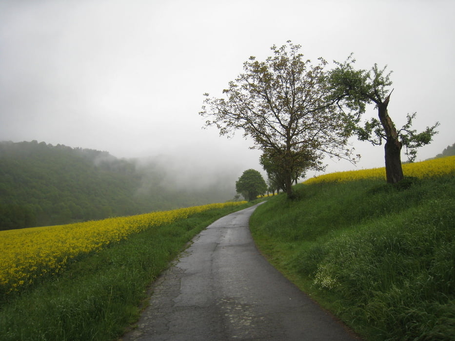
Die Radtouretappe ist Teil einer dreitägigen Rundfahrt.
Der Start der Etappe ist der Campingplatz von Bad Ems. Bad Ems besitzt einen Bahnhof an der Lahntalbahn mit Anschluss nach Koblenz und Limburg und Wetzlar. Auf dem Weg entlang der Lahn befinden sich weitere Bahnhöfe in jedem größeren Dorf.
Der Endpunkt der Tour ist Marburg. Hier befindet sich ein Bahnhof an der Main-Weser-Bahn mit Anschluss nach Frankfurt und Kassel.
GPS tracks
Trackpoints-
GPX / Garmin Map Source (gpx) download
-
TCX / Garmin Training Center® (tcx) download
-
CRS / Garmin Training Center® (crs) download
-
Google Earth (kml) download
-
G7ToWin (g7t) download
-
TTQV (trk) download
-
Overlay (ovl) download
-
Fugawi (txt) download
-
Kompass (DAV) Track (tk) download
-
Track data sheet (pdf) download
-
Original file of the author (gpx) download
More about the tour author
|
|
tbachner |
Add to my favorites
Remove from my favorites
Edit tags
Open track
My score
Rate