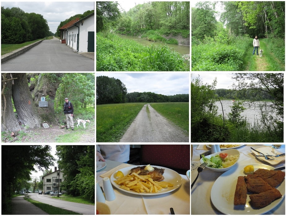
Start ist beim Gasthof Uferhaus (bekannt für gute Karpfen-/Fischspezialitäten). Von dort geht es die Uferstraße ein Stück retour bis zum Donauradweg. Dann ein Stück auf dem asphaltiertem Weg bis zur Abzweigung in die Au.
Über Forstwege und zum Teil markierte Wanderwege geht es durch den Wald an einem Seitenarm entlang bis man zur Donau kommt.
Am Treppelweg geht es nun Flussabwärts zurück Richtung Orth an der Donau.
Doch wenn (wie in unserem Fall) der Seitenarm bei den Vogel-Nistplätzen Wasser führt, ist dort Stopp! Leider führt kein anderer Weg die letzten paar hundert Meter weiter zum Wanderweg aus Orth. So gehts es nur den gleichen Weg zurück.
Diese Strecke ist daher leider kein Rundkurs, sondern vielmehr ein interessanter Weg entlang eines Seitenarms der Donau und eine "hochgeschwindigkeits"-Wanderung am Schutzdamm. Das letzte Stück retour zum Uferhaus führt wieder durch den Wald.
Tour map and elevation profile
Comments

Orth an der Donau. Bei der Kirche / Schloss abbiegen zum Uferhaus (Haltestelle der Fähre von / nach Haslau).
GPS tracks
Trackpoints-
GPX / Garmin Map Source (gpx) download
-
TCX / Garmin Training Center® (tcx) download
-
CRS / Garmin Training Center® (crs) download
-
Google Earth (kml) download
-
G7ToWin (g7t) download
-
TTQV (trk) download
-
Overlay (ovl) download
-
Fugawi (txt) download
-
Kompass (DAV) Track (tk) download
-
Track data sheet (pdf) download
-
Original file of the author (gpx) download

