


leicht abgewandelter offizieller Allendorfer Rundweg. Sehr gute Beschreibung siehe
http://www.allendorf-lda.de/index.php?id=76
bzw.
http://www.allendorf-lda.de/fileadmin/Bilder/Stadtinfo_Tourismus/allend/Rundwanderweg_102008.pdf
Hinweis von Happy.Factory (vielen Dank)
"Die Tour hat mir sehr gut gefallen, bis auf das kleine Stück im Wald vor Climbach. Dieses Stück hätte man auch über die Wiese gehen können. "
Further information at
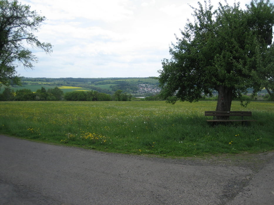
http://www.allendorf-lda.de/index.php?id=76Tour gallery


Tour map and elevation profile
Minimum height 199 m
Maximum height 382 m
More about the tour author

|
Stesti |
Comments

GPS tracks
Trackpoints-
GPX / Garmin Map Source (gpx) download
-
TCX / Garmin Training Center® (tcx) download
-
CRS / Garmin Training Center® (crs) download
-
Google Earth (kml) download
-
G7ToWin (g7t) download
-
TTQV (trk) download
-
Overlay (ovl) download
-
Fugawi (txt) download
-
Kompass (DAV) Track (tk) download
-
Track data sheet (pdf) download
-
Original file of the author (gpx) download
More about the tour author
|
|
Stesti |
Add to my favorites
Remove from my favorites
Edit tags
Open track
My score
Rate