


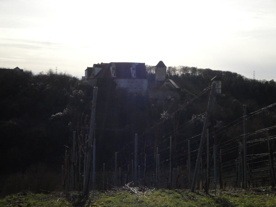
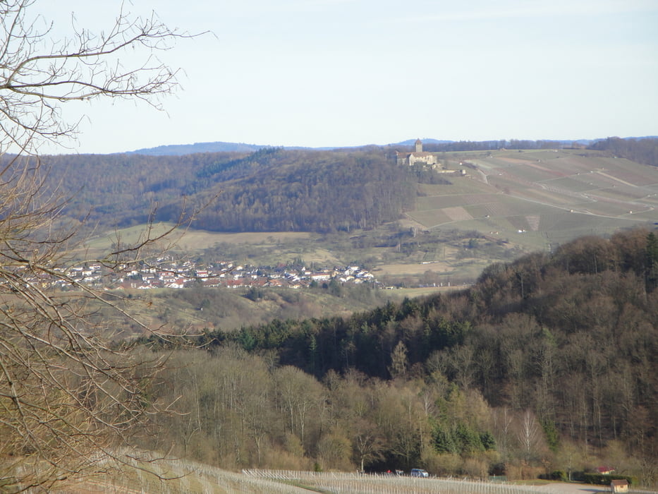
Start vom Parkplatz oberhalb von Kirchheim an den Weinbergen entlang, an Gärtnerei vorbei Richtung Ottmarsheim, durch die Felder in den Pfahlhofwald, über die Autobahnbrücke zum Wunnenstein / Ländle Blick. Überwiegend befestigte Waldwege und geteerte Wege. Leichtere Variante ohne Abfahrt nach Ilsfeld siehe rote Nadel
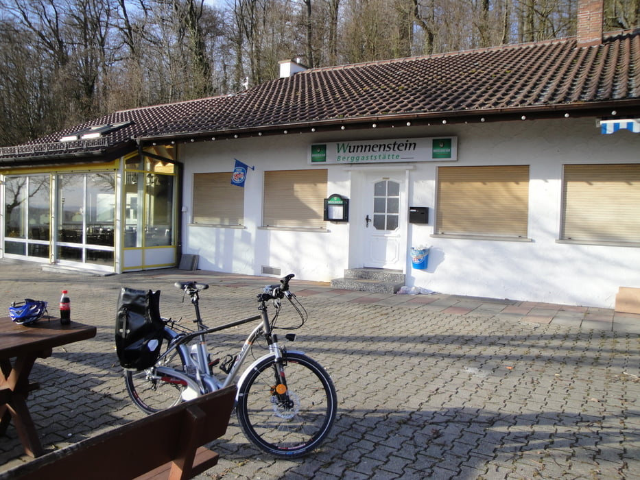
Anmerkung die Berggaststätte Wunnenstein ist nicht ganzjährig geöffnet.
Waren wir letztes Jahr, ist zu empfehlen: Die schräge Weinnacht in der Felsengartenkellerei
Fr. 09.07.2010 bis Sa. 10.07.2010 Weinfest
Veranstaltungsort:
Felsengärten Hessigheim
Veranstalter:
Felsengartenkellerei
74394 Hessigheim
www.felsengartenkellerei.de
Tour gallery

Tour map and elevation profile
Minimum height 237 m
Maximum height 381 m
More about the tour author
|
|
Peter-Hans |
Comments

A 81 Abfahrt Ilsfeld
GPS tracks
Trackpoints-
GPX / Garmin Map Source (gpx) download
-
TCX / Garmin Training Center® (tcx) download
-
CRS / Garmin Training Center® (crs) download
-
Google Earth (kml) download
-
G7ToWin (g7t) download
-
TTQV (trk) download
-
Overlay (ovl) download
-
Fugawi (txt) download
-
Kompass (DAV) Track (tk) download
-
Track data sheet (pdf) download
-
Original file of the author (gpx) download
More about the tour author
|
|
Peter-Hans |
Add to my favorites
Remove from my favorites
Edit tags
Open track
My score
Rate