Login

Forgotten password?

Cookies have to be accepted!
Your browser's cookie functionality is disabled. Please enable this functionality.

Not a member yet?

Register now
Login

Available for registred users only

Log in to use this feature.

Forgotten password?

Cookies have to be accepted!
Your browser's cookie functionality is disabled. Please enable this functionality.

Not a member yet?

Register now
Filter
Categories
Advanced filters
  • Distance (km)
  • Height
Save filters Reset filter

TrackRank

QRCode

Technical data

Distance40,7 km Height1640 m Way down1658 m Duration05:10 h:m Date19.05.2010
Scores Author Landscape Fun factor Fitness Technique

Statistics

1309 Views 2 Scores 321 Downloads 4.00 Average
Rate
  • Track data sheet
  • Directions
  • Downloads

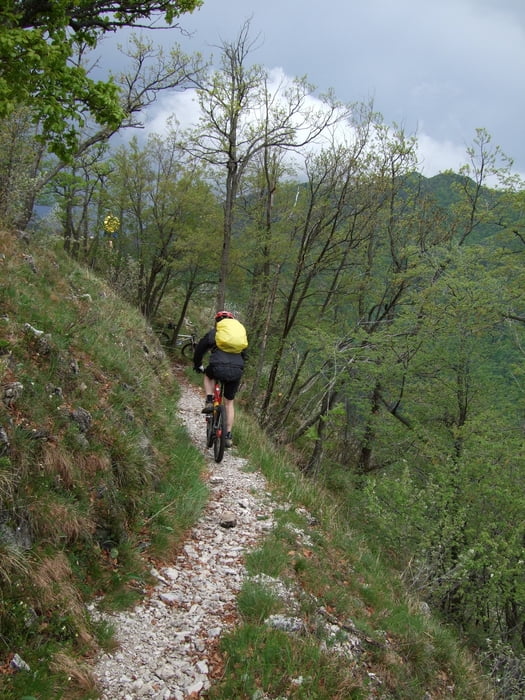
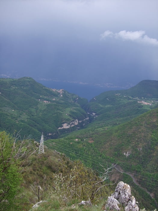
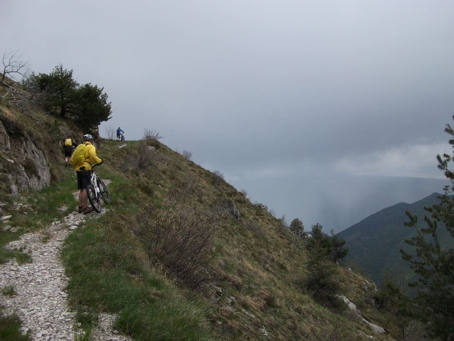
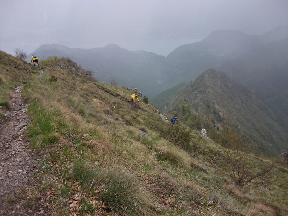
leichte Auffahrt von Tignale über Teerstrasse zum Rifugio Piemp, weiter über Passo di Ere, Passo Scarpape,  zum Passo della Puria zur Cima Tignalga, von hier gehts dann 800 HM bergab; Anfangs nur bedingt fahrbar dann wunderschöner Trail zur Teerstrasse Tremosine - Tignale

Tour gallery

Tour map and elevation profile

  • Open Street Map
  • Google
Minimum height 303 m Maximum height 1393 m Detailed view

More about the tour author

Roen2009
Member since 2010

Send private message

Comments

Martinello on 24.06.2011

Super

Vor allem der Teil vom Ref. Piemp (gegen kleine Spende kann hier wasser getankt werden) bis zur Cime Tignalga ist landschaftlich sehr schön. Die Abfahrt ist sehr verblockt, steil und grobschottrig, für mich waren die ersten 250hm quasi nicht fahrbahr. Insgesamt schön zum spitzkehren üben ....
ulgeku on 24.09.2011

Bedingt fahrbar

Bedingt fahrbar bedeutete für uns (relativ gut trainierte Hobby-Biker) über 2,5 Stunden schieben. Bereits durch die Schlucht nach Cadignano war sowohl runter wie hoch Schieben angesagt. Und bei der Abfahrt nach der Cime Tignalga ebenfalls. Ansonsten war die Tour sehr schön, aber für diejenigen, die nicht so gerne schieben, gibt es bessere Strecken am Gardasee.

GPS tracks

Trackpoints
  • GPX / Garmin Map Source (gpx) download
  • TCX / Garmin Training Center® (tcx) download
  • CRS / Garmin Training Center® (crs) download
  • Google Earth (kml) download
  • G7ToWin (g7t) download
  • TTQV (trk) download
  • Overlay (ovl) download
  • Fugawi (txt) download
  • Kompass (DAV) Track (tk) download
  • Track data sheet (pdf) download
  • Original file of the author (gpx) download

More about the tour author

Roen2009
Member since 2010

Send private message
Share track
Add to my favorites
Remove from my favorites
Edit tags
My score
Rate
Track: Cima Tignalga
Type: Mountain bike
Distance: 40,7 km
Evaluated on:
Duration:
Day(s)
Hour(s)
Minute(s)
Score: Landscape Fun factor Fitness Technique