


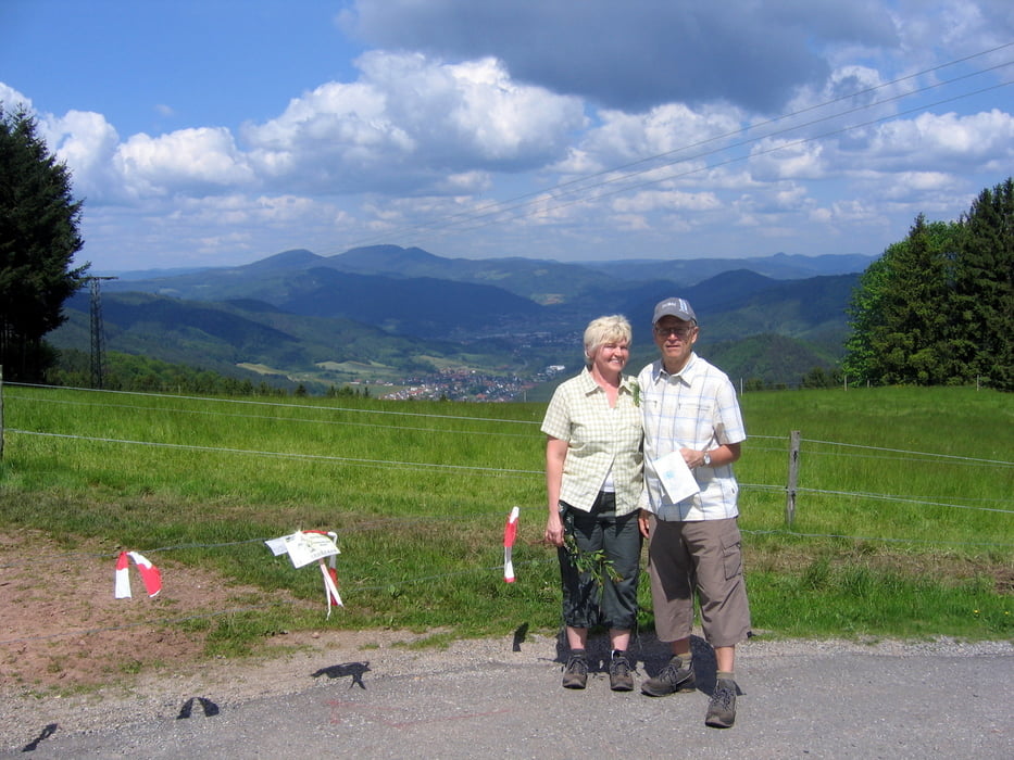
Wir haben die Wanderung an der Kirche in Hofstetten begonnen. Durch das Salmensbachtal bis zum Biereck sind es nur wenige Kilometer, aber man läuft immer im Freien und kann die Sicht auf die einsam gelegenen Berghöfe geniessen. Auf dem Biereck kann man einkehren und ein bisschen ausruhen. Der Rückweg geht zum Teil auf dem Querweg und danach über die Breitebene wieder hinunter ins Salmensbachtal nach Hofstetten.
Tour gallery


Tour map and elevation profile
Minimum height 239 m
Maximum height 607 m
More about the tour author
|
|
SiegfriedTheurer |
Comments

GPS tracks
Trackpoints-
GPX / Garmin Map Source (gpx) download
-
TCX / Garmin Training Center® (tcx) download
-
CRS / Garmin Training Center® (crs) download
-
Google Earth (kml) download
-
G7ToWin (g7t) download
-
TTQV (trk) download
-
Overlay (ovl) download
-
Fugawi (txt) download
-
Kompass (DAV) Track (tk) download
-
Track data sheet (pdf) download
-
Original file of the author (gpx) download
More about the tour author
|
|
SiegfriedTheurer |
Add to my favorites
Remove from my favorites
Edit tags
Open track
My score
Rate