
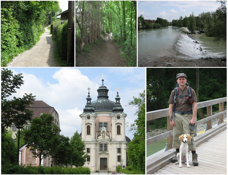

Vom Hotel Mader gingen wir quer durch Steyr bis zum Christkindlweg. Diesem Weg folgend, kommt man zur Kirche Christkindl. Dem Spazierweg weiter folgend kehrt dieser bei Rosenegg wieder Richtung Steyr.
Weiter geht es durch die Himmelauer Au, über die Brücke nach Steyrerdorf und von dort hinauf über die Tabortreppe zum Tabor Turm.
Abschließend durch die Stadt Steyr wieder retour zum Hotel Mader.
Tour map and elevation profile
Minimum height 243 m
Maximum height 348 m
More about the tour author
|
|
huberj59 |
Comments

Von Steyr nach Steyr. Parkmöglichkeiten gibt es wirklich genug (Ennskai, Parkgaragen, beim Handel-Mazzetti-Promenade etc..
GPS tracks
Trackpoints-
GPX / Garmin Map Source (gpx) download
-
TCX / Garmin Training Center® (tcx) download
-
CRS / Garmin Training Center® (crs) download
-
Google Earth (kml) download
-
G7ToWin (g7t) download
-
TTQV (trk) download
-
Overlay (ovl) download
-
Fugawi (txt) download
-
Kompass (DAV) Track (tk) download
-
Track data sheet (pdf) download
-
Original file of the author (gpx) download
More about the tour author
|
|
huberj59 |
Add to my favorites
Remove from my favorites
Edit tags
Open track
My score
Rate