Login

Forgotten password?

Cookies have to be accepted!
Your browser's cookie functionality is disabled. Please enable this functionality.

Not a member yet?

Register now
Login

Available for registred users only

Log in to use this feature.

Forgotten password?

Cookies have to be accepted!
Your browser's cookie functionality is disabled. Please enable this functionality.

Not a member yet?

Register now
Filter
Categories
Advanced filters
  • Distance (km)
  • Height
Save filters Reset filter

TrackRank

QRCode

Technical data

Distance10,3 km Height296 m Way down306 m Duration04:00 h:m Date25.05.2010
Scores Author Landscape Fun factor Fitness Technique

Statistics

1128 Views Scores 64 Downloads Average
Rate
  • Track data sheet
  • Directions
  • Downloads

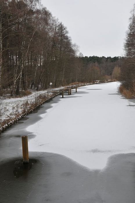
Schöne Rundwanderung um den großen Zechliner See. Die Wanderung ist leicht erweiterbar um den Schwarzen See. Einkehrmöglichkeiten in Flecken Zechlin und Hotel Gutenmorgen.

Tour map and elevation profile

  • Open Street Map
  • Google
Minimum height 18 m Maximum height 104 m Detailed view

More about the tour author

Banki
Member since 2009

Send private message

Comments

Einstieg z.B. am Ende der Parkstraße in Flecken Zechlin oder am Hotel Gutenmorgen

GPS tracks

Trackpoints
  • GPX / Garmin Map Source (gpx) download
  • TCX / Garmin Training Center® (tcx) download
  • CRS / Garmin Training Center® (crs) download
  • Google Earth (kml) download
  • G7ToWin (g7t) download
  • TTQV (trk) download
  • Overlay (ovl) download
  • Fugawi (txt) download
  • Kompass (DAV) Track (tk) download
  • Track data sheet (pdf) download
  • Original file of the author (gpx) download

More about the tour author

Banki
Member since 2009

Send private message
Share track
Add to my favorites
Remove from my favorites
Edit tags
My score
Rate
Track: Großer Zechliner See
Type: Hiking
Distance: 10,3 km
Evaluated on:
Duration:
Day(s)
Hour(s)
Minute(s)
Score: Landscape Fun factor Fitness Technique