


Herrliche Wanderung von Gütenbach zum Plattensee
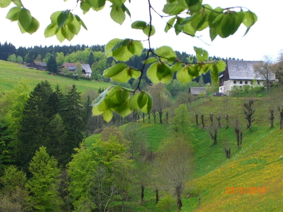
Wir stellen unser Auto am Ortsausgang von Gütenbach, am sich dort befindenden Wanderparkplatz ab. Dann wandern wir die Teichschlucht (Querweg Rhein - Kaiserstuhl) hinunter nach Wild Gutach. Dann geht es leicht ansteigend nach Zweribach hoch. Von dort wandern wir nun ein Stück eben, Richtung Obersimonswald. Am Haldenschwarz geht der Weg nun stetig nach oben, zu den Zweribachwasserfällen. Ein kleines Stück ist mit Seil und Treppe gesichert, aber noch gut zu begehen, Trittsicherheit ist von Vorteil. Oben angekommen wandern wir nun zum Plattensee, wo wir an dem sich dort befindenden Gasthof einkehren! (Empfehlenswert). Nun wandern wir wieder unterhalb des See's in einer Schleife auf einem anderen Weg wieder hinunter zu den Wasserfällen. Von dort den selben Weg wieder zurück.
Viel Spaß
Tour gallery


Tour map and elevation profile
Minimum height 558 m
Maximum height 1023 m
More about the tour author
|
|
rmvolk |
Comments
Von Villingen-Schwenningen - Vöhrenbach - Furtwangen - Gütenbach - Parkplatz Ortsausgang
Von Waldkirch - Simonswald - Obersimonswald - Gütenbach - Parkplatz Ortseingang
GPS tracks
Trackpoints-
GPX / Garmin Map Source (gpx) download
-
TCX / Garmin Training Center® (tcx) download
-
CRS / Garmin Training Center® (crs) download
-
Google Earth (kml) download
-
G7ToWin (g7t) download
-
TTQV (trk) download
-
Overlay (ovl) download
-
Fugawi (txt) download
-
Kompass (DAV) Track (tk) download
-
Track data sheet (pdf) download
-
Original file of the author (gpx) download
More about the tour author
|
|
rmvolk |
Add to my favorites
Remove from my favorites
Edit tags
Open track
My score
Rate
Zweribach