Login

Forgotten password?

Cookies have to be accepted!
Your browser's cookie functionality is disabled. Please enable this functionality.

Not a member yet?

Register now
Login

Available for registred users only

Log in to use this feature.

Forgotten password?

Cookies have to be accepted!
Your browser's cookie functionality is disabled. Please enable this functionality.

Not a member yet?

Register now
Filter
Categories
Advanced filters
  • Distance (km)
  • Height
Save filters Reset filter

TrackRank

QRCode

Technical data

Distance34,8 km Height535 m Way down553 m Duration02:00 h:m Date25.05.2010
Scores Author Landscape Fun factor Fitness Technique

Statistics

665 Views 2 Scores 54 Downloads 4.50 Average
Rate
  • Track data sheet
  • Directions
  • Downloads

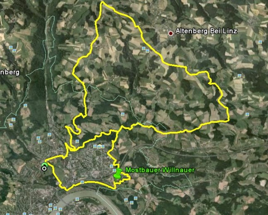
Linz/Leonfeldnerstr. - St.Magdalena - Pferdeeisenbahnpromenade - Schatzweg - Kulmweg - Oberkulm - Kulm - Altenberg - Oberbairing - St. Magdalena - Pferdeisenbahnpromenade - Auhof - Katzbach - Mostbauer Willnauer (Mo, Di, Mi offen) - Damm - Heilhamerpark - Leonfeldnerstr.
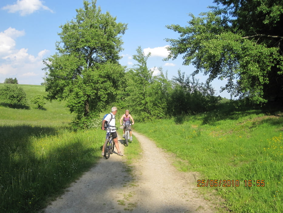
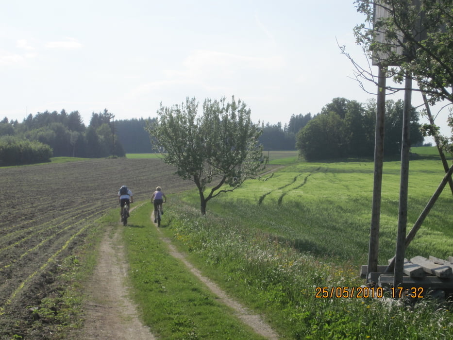
Tour gallery

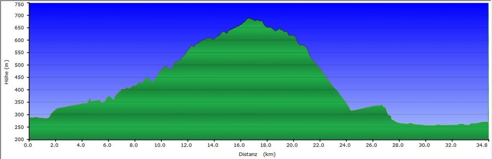
Tour map and elevation profile

  • Open Street Map
  • Google
Minimum height 256 m Maximum height 689 m Detailed view

More about the tour author

stieli1973
Member since 2010

Send private message

Comments

ksc777 on 28.11.2019

Mostbauer geschlossen

Schöne Tour - wer aber den Mostbauer braucht - den gibts nicht mehr.

GPS tracks

Trackpoints
  • GPX / Garmin Map Source (gpx) download
  • TCX / Garmin Training Center® (tcx) download
  • CRS / Garmin Training Center® (crs) download
  • Google Earth (kml) download
  • G7ToWin (g7t) download
  • TTQV (trk) download
  • Overlay (ovl) download
  • Fugawi (txt) download
  • Kompass (DAV) Track (tk) download
  • Track data sheet (pdf) download
  • Original file of the author (gpx) download

More about the tour author

stieli1973
Member since 2010

Send private message
Share track
Add to my favorites
Remove from my favorites
Edit tags
My score
Rate
Track: Altenbergerrunde mit EInkehr Mostbauer Willnauer
Type: Mountain bike
Distance: 34,8 km
Evaluated on:
Duration:
Day(s)
Hour(s)
Minute(s)
Score: Landscape Fun factor Fitness Technique