Login

Forgotten password?

Cookies have to be accepted!
Your browser's cookie functionality is disabled. Please enable this functionality.

Not a member yet?

Register now
Login

Available for registred users only

Log in to use this feature.

Forgotten password?

Cookies have to be accepted!
Your browser's cookie functionality is disabled. Please enable this functionality.

Not a member yet?

Register now
Filter
Categories
Advanced filters
  • Distance (km)
  • Height
Save filters Reset filter

TrackRank

QRCode

Technical data

Distance96,2 km Height765 m Way down752 m Duration03:56 h:m Date30.05.2010
Scores Author Landscape Fun factor Fitness Technique

Statistics

408 Views Scores 47 Downloads Average
Rate
  • Track data sheet
  • Directions
  • Downloads

Die eigentliche Ironmanrude beträgt etwas 64 km und wird zwei mal durchfahren.

Start ist der Langener Waldsee, Ziel ist der Mainkai.

Hinzu kommt meine Anfahrt und meinHeimweg.

Further information at

http://www.ironman.de/

Tour gallery

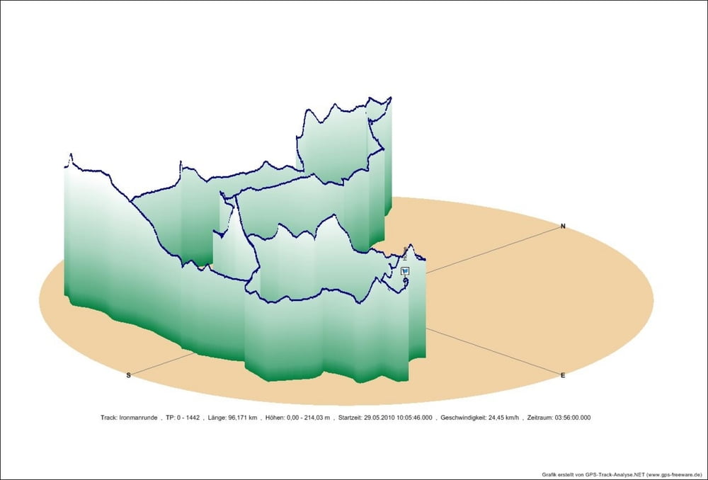
Tour map and elevation profile

  • Open Street Map
  • Google
Minimum height 111 m Maximum height 214 m Detailed view

More about the tour author

tombbmot
Member since 2009

Send private message

Comments

GPS tracks

Trackpoints
  • GPX / Garmin Map Source (gpx) download
  • TCX / Garmin Training Center® (tcx) download
  • CRS / Garmin Training Center® (crs) download
  • Google Earth (kml) download
  • G7ToWin (g7t) download
  • TTQV (trk) download
  • Overlay (ovl) download
  • Fugawi (txt) download
  • Kompass (DAV) Track (tk) download
  • Track data sheet (pdf) download
  • Original file of the author (gpx) download

More about the tour author

tombbmot
Member since 2009

Send private message
Share track
Add to my favorites
Remove from my favorites
Edit tags
My score
Rate
Track: Ironmanrunde Frankfurt modifiziert
Type: Road biking
Distance: 96,2 km
Evaluated on:
Duration:
Day(s)
Hour(s)
Minute(s)
Score: Landscape Fun factor Fitness Technique