
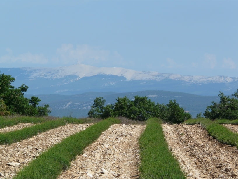

Die Rundfahrt führt um und durch den Grand Luberon auf meist wenig befahrenen Straßen über kleinere Dörfer durch eine landschaftlich reizvolle Gegend und schönen Aussichten bis hin zum Mont Ventoux. Der höchste Punkt der Runde ist der Col de l'Aire dei Masco mit 696 m. Teilweise führt die Strecke über die markierte 236 km lange Autour du Luberon des parc naturel règional du Luberon.
Tour map and elevation profile
Minimum height 211 m
Maximum height 690 m
More about the tour author

|
geometer58 |
Comments

Startpunkt war ein Parkplatz am östlichen Ortsrand von La Motte d'Aigues, der zu einem kleinen Supermarkt und einer angrenzenden Boulangerie gehört. Aber auch andere Startpunkte (z.B. Cucuron) sind möglich.
GPS tracks
Trackpoints-
GPX / Garmin Map Source (gpx) download
-
TCX / Garmin Training Center® (tcx) download
-
CRS / Garmin Training Center® (crs) download
-
Google Earth (kml) download
-
G7ToWin (g7t) download
-
TTQV (trk) download
-
Overlay (ovl) download
-
Fugawi (txt) download
-
Kompass (DAV) Track (tk) download
-
Track data sheet (pdf) download
-
Original file of the author (gpx) download
More about the tour author
|
|
geometer58 |
Add to my favorites
Remove from my favorites
Edit tags
Open track
My score
Rate