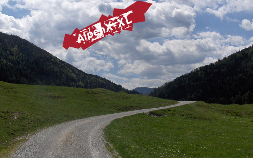
Ich war auf der Tour mit meinem 11jährigen Sohn unterweg. Mit ihm zusammen haben wir uns für die Tour zwei Tage Zeit gelassen, übernachtet haben wir im Kaiserhhaus...
Die Uphills und Downhills sind alle auch für meinen Sohn auf Fahrwegen durchwegs fahrbar...
Auf meiner Homepage gibt es einen kurzen Bericht und viele Fotos. Link, siehe unten.
Viel Spaß beim Stöbern und Biken.
Further information at
http://www.alpenx-xl.de/2010/10_guffert/10guffert.phpTour gallery
Tour map and elevation profile
Minimum height 320 m
Maximum height 1086 m
Comments

GPS tracks
Trackpoints-
GPX / Garmin Map Source (gpx) download
-
TCX / Garmin Training Center® (tcx) download
-
CRS / Garmin Training Center® (crs) download
-
Google Earth (kml) download
-
G7ToWin (g7t) download
-
TTQV (trk) download
-
Overlay (ovl) download
-
Fugawi (txt) download
-
Kompass (DAV) Track (tk) download
-
Track data sheet (pdf) download
-
Original file of the author (gpx) download
Add to my favorites
Remove from my favorites
Edit tags
Open track
My score
Rate


