


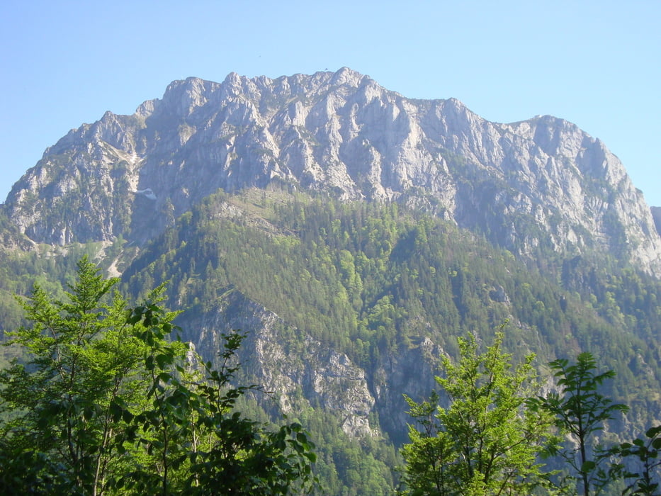
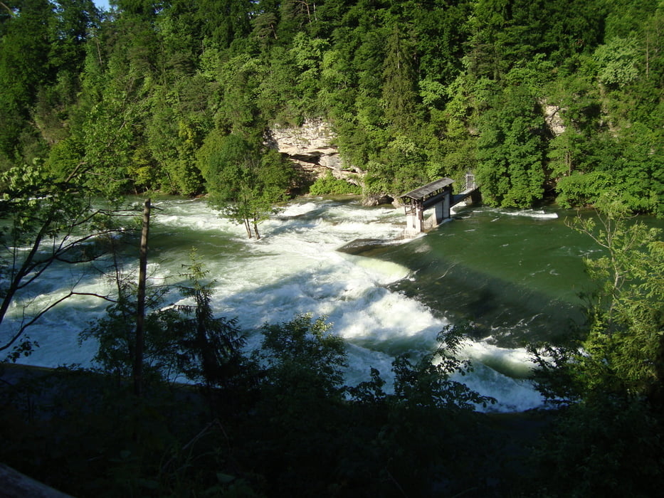
Ausgangspunkt ist der Hauptplatz in Atzbach. Dann nach Schwanenstadt, Alt Attnang, Wankham. Links dem Bahndamm entlang nach Aurachkirchen und weiter nach Pinsdorf. Gmunden und entlang der Promenade zur Auffahrt auf den Grünberg. Etwa eine Stunde Bergauf zum Laudachsee.Super Aussicht auf den Traunstein und zum Traunsee. Einkehrmöglichkeit !!! Dann ein super Trail durch den Wald zum "Franzl im Hoiz" und zurück nach Gmunden. Der Traunuferweg entlang zurück bis Steirermühl. Desselbrunn, Schwanenstadt und wieder nach Atzbach.
Mehr Bilder unter: seppdepp.heim.at
Tour gallery


Tour map and elevation profile
Minimum height 380 m
Maximum height 922 m
More about the tour author
|
|
Atzbach |
Comments

GPS tracks
Trackpoints-
GPX / Garmin Map Source (gpx) download
-
TCX / Garmin Training Center® (tcx) download
-
CRS / Garmin Training Center® (crs) download
-
Google Earth (kml) download
-
G7ToWin (g7t) download
-
TTQV (trk) download
-
Overlay (ovl) download
-
Fugawi (txt) download
-
Kompass (DAV) Track (tk) download
-
Track data sheet (pdf) download
-
Original file of the author (gpx) download
More about the tour author
|
|
Atzbach |
Add to my favorites
Remove from my favorites
Edit tags
Open track
My score
Rate